
| Distance / Altitude | Location | Report Date / Time | Live Weather | Wind | Gusts | Temp. | Visibility | Cloud |
|---|---|---|---|---|---|---|---|---|
| 23 km SSW / 9 m | Moosonee Rcs Airport (Ontario) | 2024-04-28 02:00 local (2024/04/28 06:00 GMT) | - | light winds from the NNW (17 km/h at 330) | 0°C | 0.0 | ||
| 23 km SSW / 9 m | Moosonee Airport (Canada) | 2024-04-28 01:00 local (2024/04/28 05:00 GMT) | no report | moderate winds from the NNW (22 km/h at 340) | 1°C | - | - - - | |
| 27 km SSW / 217 m | Moosonee Airport (Ontario) | 2024-04-28 02:16 local (2024/04/28 06:16 GMT) | Light snow | moderate winds from the NNW (26 km/h at 330) | 0°C | 5 | overcast | |
| 221 km WNW / 9 m | Attawapiskat Airport (Canada) | 2024-04-28 02:10 local (2024/04/28 06:10 GMT) | Dry and cloudy | moderate winds from the N (28 km/h at 350) | -5°C | 14 | overcast | |
| 257 km SE / 717 m | Matagami Airport (Quebec) | 2024-04-28 02:41 local (2024/04/28 06:41 GMT) | Light rain | light winds from the SSW.(Wind varies from 170 to 240 degs) (13 km/h at 200) | 10°C | 5 | overcast |
| Contours: | Roads & Rivers: | Select a
tide station / surf break / city |
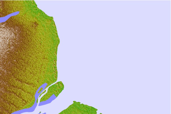

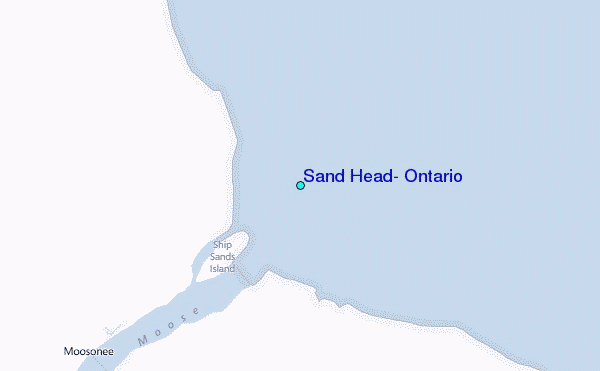
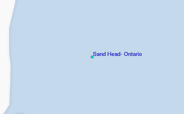
Use this relief map to navigate to tide stations, surf breaks and cities that are in the area of Sand Head, Ontario.
Other Nearby Locations' tide tables and tide charts to Sand Head, Ontario:
click location name for more details
 Surf breaks close to Sand Head, Ontario:
|
||
|---|---|---|
| Closest surf break | Marathon | 331 mi |
| Second closest surf break | Alona Bay | 354 mi |
| Third closest surf break | Manitoulin Island | 405 mi |
| Fourth closest surf break | Bayfield | 419 mi |
| Fifth closest surf break | Grand Marias | 419 mi |

 Nearest
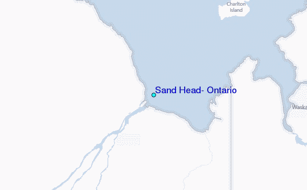