
| Distance / Altitude | Location | Report Date / Time | Live Weather | Wind | Gusts | Temp. | Visibility | Cloud |
|---|---|---|---|---|---|---|---|---|
| 3 km WNW / 51 m | Hobart (Ellerslie Road) (Australia) | 2024-04-29 03:00 local (2024/04/28 17:00 GMT) | no report | moderate winds from the NW (20 km/h at 320) | 15°C | - | - no observation - | |
| 5 km W / - m | SHIP5283 (ocean) | 2024-04-29 02:00 local (2024/04/28 16:00 GMT) | - | fresh winds from the N (29 km/h at 350) | 16°C | - | no observation | |
| 8 km SSE / 25 m | Mary Ann Bay (Australia) | 2024-04-29 04:00 local (2024/04/28 18:00 GMT) | - | fresh winds from the N (37 km/h at 353) | 16°C | - | - - 0 | |
| 10 km W / 1260 m | Mount Wellington (Australia) | 2024-04-29 03:30 local (2024/04/28 17:30 GMT) | no report | gales from the NW (65 km/h at 310) | 5°C | - | - no observation - | |
| 14 km NE / 213 m | Hobart Airport (Australia) | 2024-04-29 03:30 local (2024/04/28 17:30 GMT) | Dry and partly cloudy | moderate winds from the NNW (20 km/h at 330) | 15°C | 10.0 | no cloud |
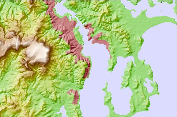
| Contours: | Roads & Rivers: | Select a
tide station / surf break / city |
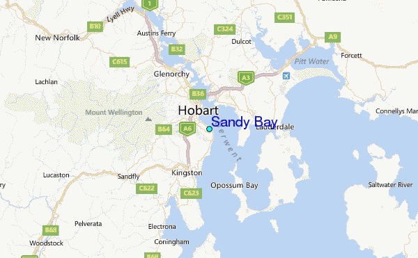
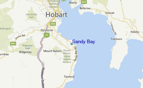
Use this relief map to navigate to tide stations, surf breaks and cities that are in the area of Sandy Bay.
Other Nearby Locations' tide tables and tide charts to Sandy Bay:
click location name for more details
 Surf breaks close to Sandy Bay:
|
||
|---|---|---|
| Closest surf break | Howrah Beach | 3 mi |
| Second closest surf break | Bambra Reef | 7 mi |
| Third closest surf break | Lauderdale Point | 8 mi |
| Fourth closest surf break | Seven Mile Beach and Point | 8 mi |
| Fifth closest surf break | May's Point | 9 mi |

 Nearest
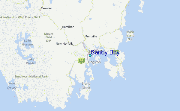