
| Distance / Altitude | Location | Report Date / Time | Live Weather | Wind | Gusts | Temp. | Visibility | Cloud |
|---|---|---|---|---|---|---|---|---|
| 10 km S / 219 m | Catania/Fontanarossa Airport (Italy) | 2024-04-29 14:20 local (2024/04/29 12:20 GMT) | - | fresh winds from the ENE (30 km/h at 70) | — | 0.0 | ||
| 10 km S / 17 m | Catania Fontanarossa (Italy) | 2024-04-29 14:00 local (2024/04/29 12:00 GMT) | no report | moderate winds from the ENE (24 km/h at 60) | 21°C | 10 | - - - | |
| 22 km SSW / 29 m | Naval Air Station Sigonella (Italy) | 2024-04-29 15:00 local (2024/04/29 13:00 GMT) | no report | fresh winds from the E (35 km/h at 100) | 22°C | 18 | - clear - | |
| 24 km SSW / 214 m | Sigonella Airport (Italy) | 2024-04-29 13:55 local (2024/04/29 11:55 GMT) | - | strong winds from the E (41 km/h at 80) | — | 0.0 | ||
| 57 km SSE / 3 m | Siracusa (Italy) | 2024-04-29 15:00 local (2024/04/29 13:00 GMT) | - | light winds from the W (11 km/h at 280) | 20°C | - | no observation |
| Contours: | Roads & Rivers: | Select a
tide station / surf break / city |
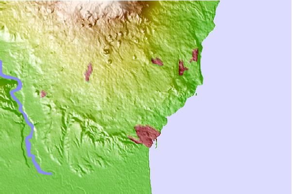
Use this relief map to navigate to tide stations, surf breaks and cities that are in the area of Sant'Agata li Battiati.
Other Nearby Locations' tide tables and tide charts to Sant'Agata li Battiati:
click location name for more details
 Surf breaks close to Sant'Agata li Battiati:
|
||
|---|---|---|
| Closest surf break | Playa di Catania | 6 mi |
| Second closest surf break | Morghella | 59 mi |
| Third closest surf break | Kamikaze or Cefalù big | 65 mi |
| Fourth closest surf break | Ponente (Sicily) | 83 mi |
| Fifth closest surf break | Backdoor | 94 mi |

 Nearest