
| Distance / Altitude | Location | Report Date / Time | Live Weather | Wind | Gusts | Temp. | Visibility | Cloud |
|---|---|---|---|---|---|---|---|---|
| 56 km SW / 3 m | Aparri (Philippines) | 2024-05-04 14:00 local (2024/05/04 06:00 GMT) | no report | light winds from the NNE (14 km/h at 20) | 34°C | 40 km | - few - | |
| 113 km WNW / 13 m | Calayan (Philippines) | 2024-05-04 13:00 local (2024/05/04 05:00 GMT) | no report | light winds from the SE (11 km/h at 130) | 31°C | 25 | - | |
| 173 km WSW / 9 m | Laoag (Philippines) | 2024-05-04 14:00 local (2024/05/04 06:00 GMT) | Haze | light winds from the W (14 km/h at 270) | 34°C | 30 km | few | |
| 176 km WSW / 344 m | Laoag International Airport (Philippines) | 2024-05-04 13:00 local (2024/05/04 05:00 GMT) | - | light winds from the W.(Wind varies from 230 to 300 degs) (19 km/h at 260) | 33°C | 10.0 | few | |
| 176 km WSW / 344 m | Laoag International Airport/Paliparang Pandaigdig ng Laoag (Philippines) | 2024-05-04 13:00 local (2024/05/04 05:00 GMT) | - | light winds from the W.(Wind varies from 230 to 300 degs) (19 km/h at 260) | 33°C | 10.0 | few |
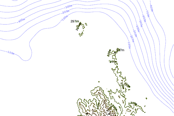
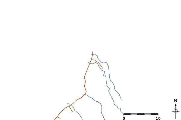
| Contours: | Roads & Rivers: | Select a
tide station / surf break / city |
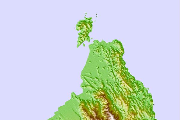
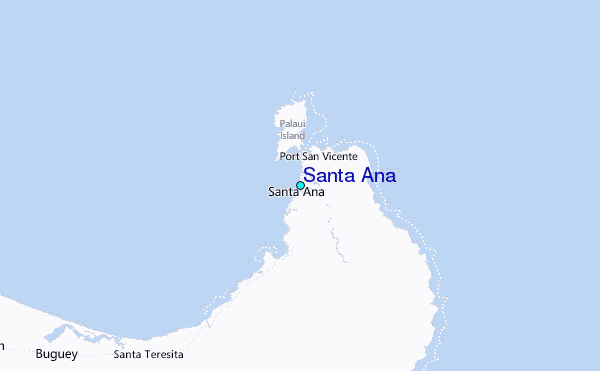
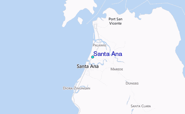
Use this relief map to navigate to tide stations, surf breaks and cities that are in the area of Santa Ana.
Other Nearby Locations' tide tables and tide charts to Santa Ana:
click location name for more details
 Surf breaks close to Santa Ana:
|
||
|---|---|---|
| Closest surf break | Badoc Point | 118 mi |
| Second closest surf break | Star Tubes | 118 mi |
| Third closest surf break | Badoc Island Lefts | 120 mi |
| Fourth closest surf break | Turtle Head | 121 mi |
| Fifth closest surf break | Puro Pinget | 130 mi |

 Nearest
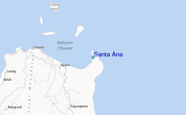