
| Distance / Altitude | Location | Report Date / Time | Live Weather | Wind | Gusts | Temp. | Visibility | Cloud |
|---|---|---|---|---|---|---|---|---|
| 71 km W / 6 m | Laiya (Philippines) | 2024-05-04 21:58 local (2024/05/04 13:58 GMT) | dry | - (- km/h at ) | — | - | - - 0 | |
| 78 km WNW / 216 m | Tayabas (Philippines) | 2024-05-04 21:00 local (2024/05/04 13:00 GMT) | no report | light winds from the N (14 km/h at 360) | 28°C | 8 | - | |
| 92 km WSW / 41 m | Calapan (Philippines) | 2024-05-04 21:00 local (2024/05/04 13:00 GMT) | clouds developing | calm (4 km/h at 80) | 30°C | 11 | - | |
| 99 km SSE / 47 m | Romblon (Philippines) | 2024-05-04 21:00 local (2024/05/04 13:00 GMT) | clouds developing | calm (4 km/h at 90) | 28°C | 15 | - | |
| 125 km NE / 4 m | Daet (Philippines) | 2024-05-04 20:00 local (2024/05/04 12:00 GMT) | no report | calm (4 km/h at 90) | 30°C | 7 | - |
| Contours: | Roads & Rivers: | Select a
tide station / surf break / city |
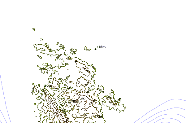
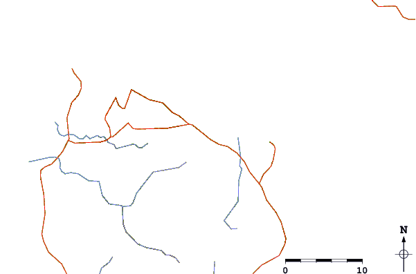
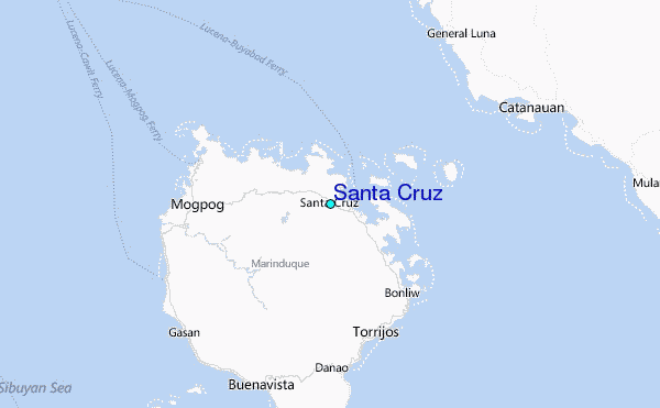
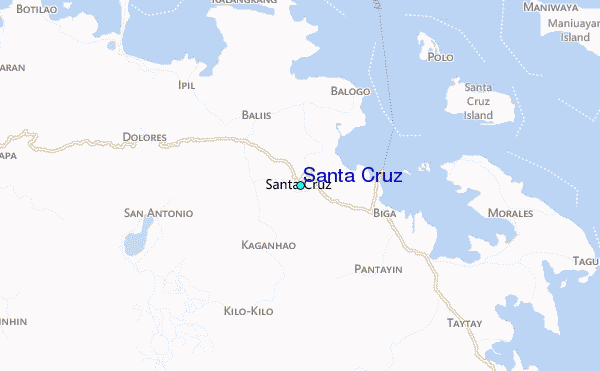
Use this relief map to navigate to tide stations, surf breaks and cities that are in the area of Santa Cruz.
Other Nearby Locations' tide tables and tide charts to Santa Cruz:
click location name for more details
 Surf breaks close to Santa Cruz:
|
||
|---|---|---|
| Closest surf break | Bagasbas Beach | 79 mi |
| Second closest surf break | Virac Harbour | 147 mi |
| Third closest surf break | Moning | 158 mi |
| Fourth closest surf break | Majestics | 160 mi |
| Fifth closest surf break | Point B | 160 mi |

 Nearest
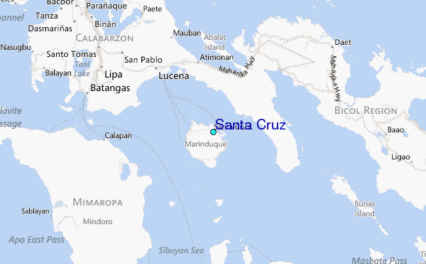