
| Distance / Altitude | Location | Report Date / Time | Live Weather | Wind | Gusts | Temp. | Visibility | Cloud |
|---|---|---|---|---|---|---|---|---|
| 6 km ESE / 44 m | Santo-Pekoa Airport (Vanuatu) | 2024-05-03 23:00 local (2024/05/03 12:00 GMT) | Dry and partly cloudy | light winds from the SSE (17 km/h at 150) | 27°C | 10.0 | scattered broken - | |
| 188 km NNE / 18 m | Sola(VanuaLava) (Vanuatu) | 2024-05-03 23:00 local (2024/05/03 12:00 GMT) | State of sky unchanged | light winds from the S (19 km/h at 170) | 28°C | 20 km | mostly cloudy | |
| 273 km SSE / 21 m | Bauerfield Airport - Efate Island (Vanuatu) | 2024-05-04 01:00 local (2024/05/03 14:00 GMT) | Drizzle | light winds from the ESE (13 km/h at 110) | 24°C | 10.0 | few broken - | |
| 417 km SSE / 15 m | SHIP3747 (Marine) | 2024-05-03 23:00 local (2024/05/03 12:00 GMT) | - (- km/h at -) | — | - km | |||
| 491 km SSE / 8 m | WhiteGrassAirport (Vanuatu) | 2024-05-03 23:00 local (2024/05/03 12:00 GMT) | Clouds dissolving | light winds from the S (7 km/h at 170) | 23°C | 20 km | few |
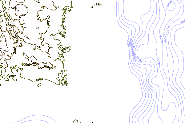
| Contours: | Roads & Rivers: | Select a
tide station / surf break / city |
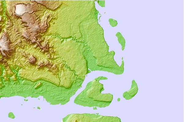
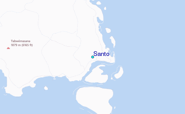
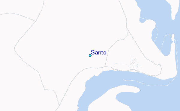
Use this relief map to navigate to tide stations, surf breaks and cities that are in the area of Santo.
Other Nearby Locations' tide tables and tide charts to Santo:
click location name for more details
 Surf breaks close to Santo:
|
||
|---|---|---|
| Closest surf break | Nagar | 163 mi |
| Second closest surf break | Takara | 163 mi |
| Third closest surf break | The Sequel | 165 mi |
| Fourth closest surf break | Mangea Reefs (The Channel Island) | 165 mi |
| Fifth closest surf break | Black Sands Beach | 168 mi |

 Nearest
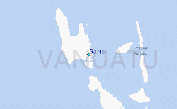