
| Distance / Altitude | Location | Report Date / Time | Live Weather | Wind | Gusts | Temp. | Visibility | Cloud |
|---|---|---|---|---|---|---|---|---|
| 68 km NW / 20 m | Cabinda Airport (Angola) | 2024-05-03 10:00 local (2024/05/03 09:00 GMT) | Dry and partly cloudy | light winds from the N (6 km/h at 1) | 30°C | 10.0 | few scattered - | |
| 100 km SW / 15 m | ASCATC12E6S (Marine) | 2024-05-03 09:10 local (2024/05/03 08:10 GMT) | light winds from the SE (8 km/h at 139) | — | - km | |||
| 125 km WNW / 15 m | ASCATC12E5S (Marine) | 2024-05-03 09:09 local (2024/05/03 08:09 GMT) | light winds from the SSW (11 km/h at 199) | — | - km | |||
| 153 km NW / 215 m | Pointe Noire Airport (Congo/zaire) | 2024-05-03 10:00 local (2024/05/03 09:00 GMT) | Dry and partly cloudy | light winds from the SSE.(Wind varies from 130 to 200 degs) (13 km/h at 160) | 31°C | 10.0 | scattered broken | |
| 155 km NW / 19 m | Pointe -Noire (Republic of the Congo) | 2024-05-03 10:00 local (2024/05/03 09:00 GMT) | no report | light winds from the S (11 km/h at 180) | 31°C | 10 | - |
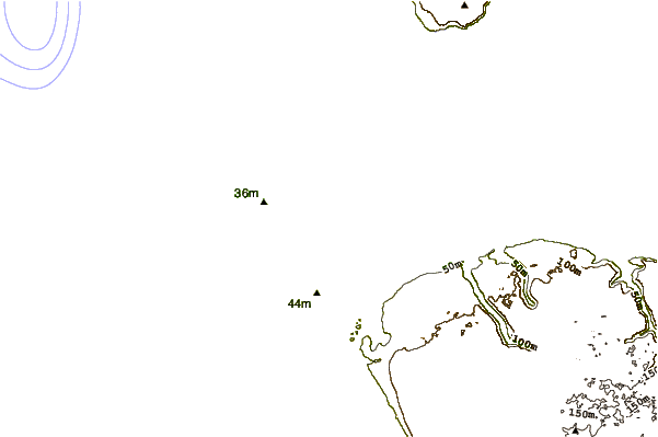
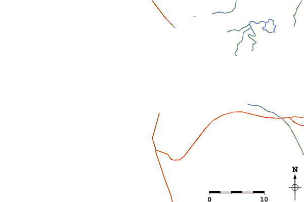
| Contours: | Roads & Rivers: | Select a
tide station / surf break / city |
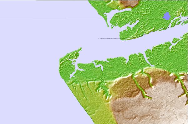
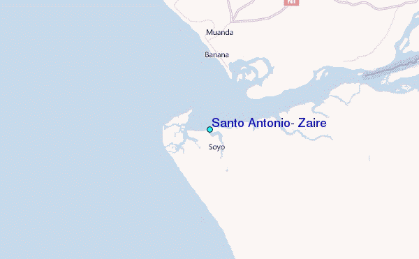
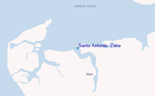
Use this relief map to navigate to tide stations, surf breaks and cities that are in the area of Santo Antonio, Zaire.
Other Nearby Locations' tide tables and tide charts to Santo Antonio, Zaire:
click location name for more details
 Surf breaks close to Santo Antonio, Zaire:
|
||
|---|---|---|
| Closest surf break | Cote Sauvage | 97 mi |
| Second closest surf break | Le Piege | 100 mi |
| Third closest surf break | Ambriz Point | 129 mi |
| Fourth closest surf break | Chicala | 196 mi |
| Fifth closest surf break | Mussulo | 198 mi |

 Nearest
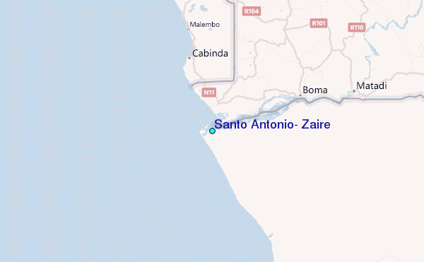