
| Distance / Altitude | Location | Report Date / Time | Live Weather | Wind | Gusts | Temp. | Visibility | Cloud |
|---|---|---|---|---|---|---|---|---|
| 2 km S / 14 m | SantoDomingo(78486 -0) (Dominican Republic) | 2024-04-29 02:00 local (2024/04/29 06:00 GMT) | - | light winds from the NNW (7 km/h at 340) | 23°C | 36 km | few | |
| 6 km WSW / 50 m | Bella Vista wx (Dominican Republic) | 2024-04-29 03:29 local (2024/04/29 07:29 GMT) | dry | calm (5 km/h at 355) | 24°C | - | - - 0 | |
| 7 km NE / 41 m | Ensanche Savica de Mendoza wx (Dominican Republic) | 2024-04-29 03:28 local (2024/04/29 07:28 GMT) | dry | calm (2 km/h at 352) | 23°C | - | - - 0 | |
| 23 km E / 18 m | LasAmericas (Dominican Republic) | 2024-04-29 02:00 local (2024/04/29 06:00 GMT) | - | light winds from the N (11 km/h at 360) | 23°C | 36 km | - scattered - | |
| 23 km E / 212 m | Punta Caucedo/Las Americas Airport (Dominican Republic) | 2024-04-29 03:00 local (2024/04/29 07:00 GMT) | - | light winds from the N (11 km/h at 10) | 23°C | 10.0 | few |
| Contours: | Roads & Rivers: | Select a
tide station / surf break / city |
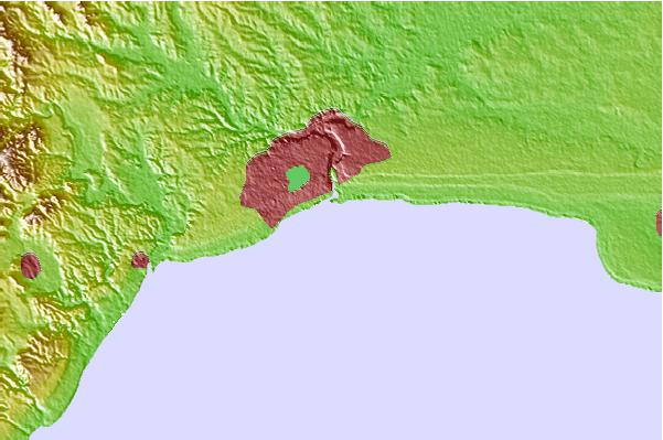
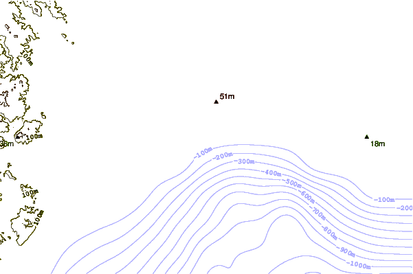
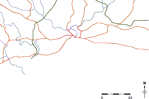
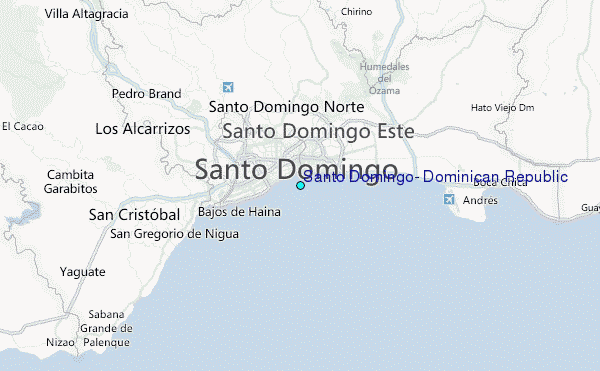
Use this relief map to navigate to tide stations, surf breaks and cities that are in the area of Santo Domingo, Dominican Republic.
Other Nearby Locations' tide tables and tide charts to Santo Domingo, Dominican Republic:
click location name for more details
 Surf breaks close to Santo Domingo, Dominican Republic:
|
||
|---|---|---|
| Closest surf break | Guibia | 4 mi |
| Second closest surf break | El Chinchorro (Red Beach) | 9 mi |
| Third closest surf break | Red Beach | 12 mi |
| Fourth closest surf break | La Boya | 17 mi |
| Fifth closest surf break | Banzai | 19 mi |

 Nearest
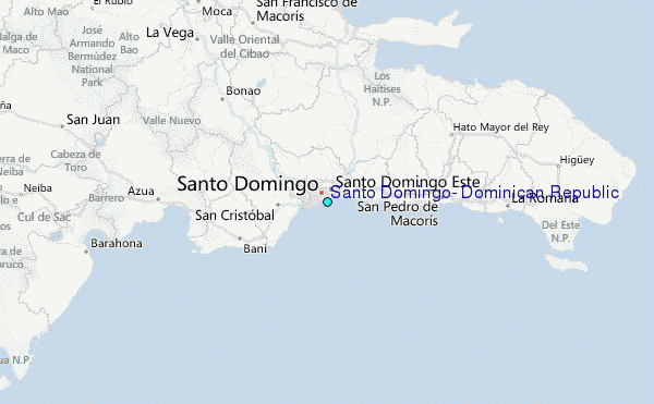