
| Distance / Altitude | Location | Report Date / Time | Live Weather | Wind | Gusts | Temp. | Visibility | Cloud |
|---|---|---|---|---|---|---|---|---|
| 109 km E / 70 m | Praia International Airport (Cape verde) | 2024-04-27 19:00 local (2024/04/27 20:00 GMT) | - | moderate winds from the N (26 km/h at 10) | 24°C | 10.0 | few | |
| 221 km NE / 22 m | Rabil Airport (Cape Verde) | 2024-04-27 18:00 local (2024/04/27 19:00 GMT) | Dry and partly cloudy | fresh winds from the NNE (33 km/h at 30) | 25°C | 10.0 | scattered | |
| 249 km NW / 20 m | São Pedro Airport (Cape Verde) | 2024-04-27 19:00 local (2024/04/27 20:00 GMT) | Light rain | fresh winds from the ENE (33 km/h at 60) | 24°C | 10.0 | scattered broken | |
| 263 km NE / 201 m | Sal Island/Amilcar Cabral International Airport (Cape Verde) | 2024-04-27 19:00 local (2024/04/27 20:00 GMT) | Dry and partly cloudy | moderate winds from the NE (20 km/h at 40) | 24°C | 10.0 | scattered scattered | |
| 360 km SSE / 3 m | BUOY-13001 (Marine) | 2024-04-27 18:00 local (2024/04/27 19:00 GMT) | - (- km/h at -) | — | - |
| Contours: | Roads & Rivers: | Select a
tide station / surf break / city |
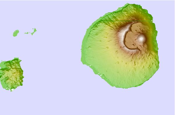
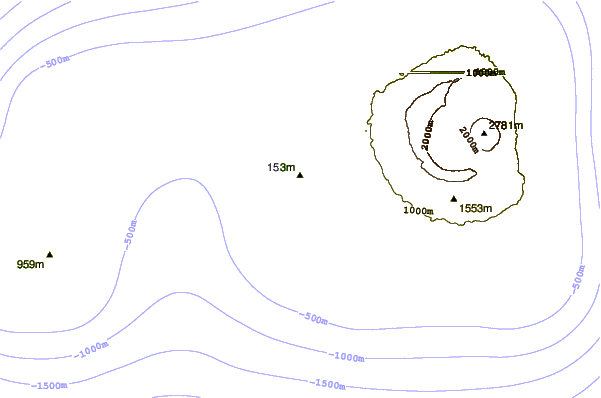
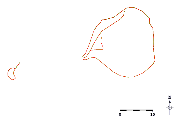
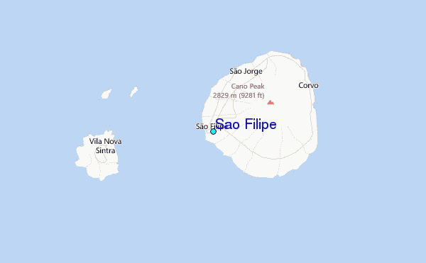
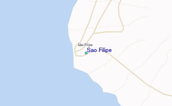
Use this relief map to navigate to tide stations, surf breaks and cities that are in the area of Sao Filipe.
Other Nearby Locations' tide tables and tide charts to Sao Filipe:
click location name for more details
 Surf breaks close to Sao Filipe:
|
||
|---|---|---|
| Closest surf break | Coragi | 65 mi |
| Second closest surf break | Cocas Beach / Praia Negra | 66 mi |
| Third closest surf break | Ponta Preta | 157 mi |
| Fourth closest surf break | Ponta do Sino | 157 mi |
| Fifth closest surf break | Santa Maria | 157 mi |

 Nearest
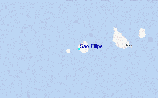