
| Distance / Altitude | Location | Report Date / Time | Live Weather | Wind | Gusts | Temp. | Visibility | Cloud |
|---|---|---|---|---|---|---|---|---|
| 65 km N / 876 m | Sao Luis DO Paraitinga (Brazil) | 2024-04-29 14:00 local (2024/04/29 17:00 GMT) | no report | calm (0 km/h at 150) | 29°C | - | - | |
| 82 km WNW / 646 m | Sao Jose Dos Campos (Aero) (Brazil) | 2024-04-29 12:00 local (2024/04/29 15:00 GMT) | no report | light winds from the N (9 km/h at 10) | 28°C | 20 | - | |
| 85 km WNW / 610 m | Sao Jose Campos (Brazil) | 2024-04-29 13:05 local (2024/04/29 16:05 GMT) | - | calm (0 km/h at 0) | — | - | - - 0 | |
| 87 km N / 586 m | Taubate Airport (base) (Brazil) | 2024-04-29 13:00 local (2024/04/29 16:00 GMT) | - | light winds from the NE.(Wind varies from 020 to 090 degs) (17 km/h at 50) | — | 0.0 | ||
| 87 km N / 572 m | Taubate (86911 -0) (Brazil) | 2024-04-29 14:00 local (2024/04/29 17:00 GMT) | no report | light winds from the NE (18 km/h at 40) | 29°C | - | - |
| Contours: | Roads & Rivers: | Select a
tide station / surf break / city |
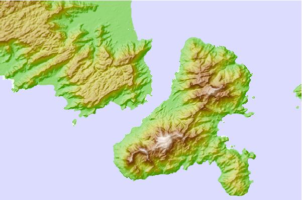
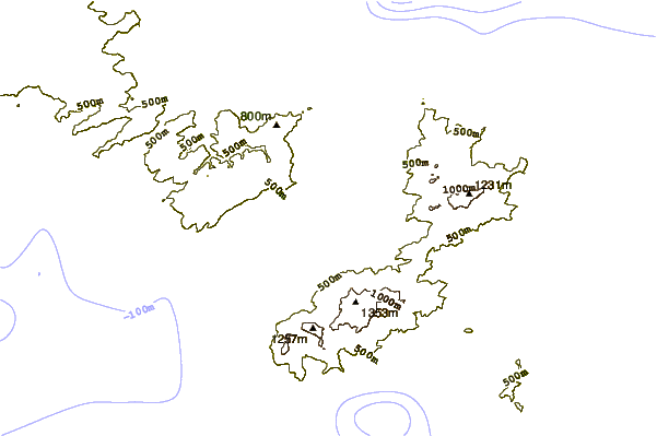
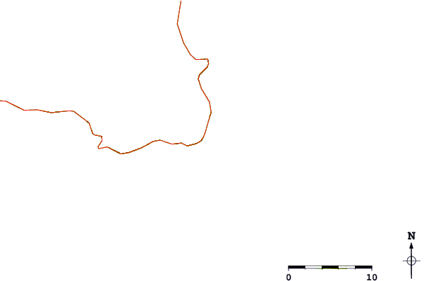
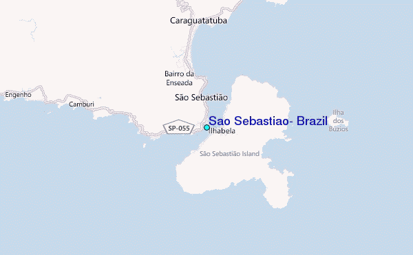
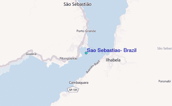
Use this relief map to navigate to tide stations, surf breaks and cities that are in the area of Sao Sebastiao, Brazil.
Other Nearby Locations' tide tables and tide charts to Sao Sebastiao, Brazil:
click location name for more details
 Surf breaks close to Sao Sebastiao, Brazil:
|
||
|---|---|---|
| Closest surf break | Praia do Guaeca | 4 mi |
| Second closest surf break | Praia dos Castelhanos (Ilha Bela) | 7 mi |
| Third closest surf break | Bonete (Ilha Bela) | 8 mi |
| Fourth closest surf break | Canto Bravo (Ilha Bela) | 8 mi |
| Fifth closest surf break | Maresias | 9 mi |

 Nearest
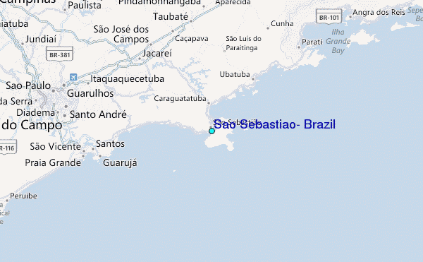