
| Distance / Altitude | Location | Report Date / Time | Live Weather | Wind | Gusts | Temp. | Visibility | Cloud |
|---|---|---|---|---|---|---|---|---|
| 253 km ESE / 33 m | Port Gentil (Gabon) | 2024-04-27 06:00 local (2024/04/27 06:00 GMT) | Dry and partly cloudy | light winds from the SE.(Wind varies from 100 to 160 degs) (7 km/h at 130) | 27°C | 10.0 | scattered - - | |
| 300 km E / 218 m | Libreville/Leon M'Ba Airport (Gabon) | 2024-04-27 06:00 local (2024/04/27 06:00 GMT) | no report | calm (4 km/h at 60) | 28°C | 10 | few few - | |
| 384 km ENE / 554 m | Bata Airport (Equatorial Guinea) | 2024-04-27 06:00 local (2024/04/27 06:00 GMT) | - | calm (4 km/h at 140) | 27°C | 10.0 | few | |
| 444 km NNE / 56 m | Malabo/Fernando Poo Airport (Equatorial Guinea) | 2024-04-27 07:30 local (2024/04/27 07:30 GMT) | Dry and partly cloudy | light winds from the SSW.(Wind varies from 170 to 280 degs) (6 km/h at 210) | 31°C | 10.0 | scattered - - | |
| 505 km N / 97 m | Port Harcourt (Nigeria) | 2024-04-27 06:00 local (2024/04/27 06:00 GMT) | Dry and partly cloudy | calm (0 km/h at 0) | 25°C | 10.0 | broken mostly cloudy - |
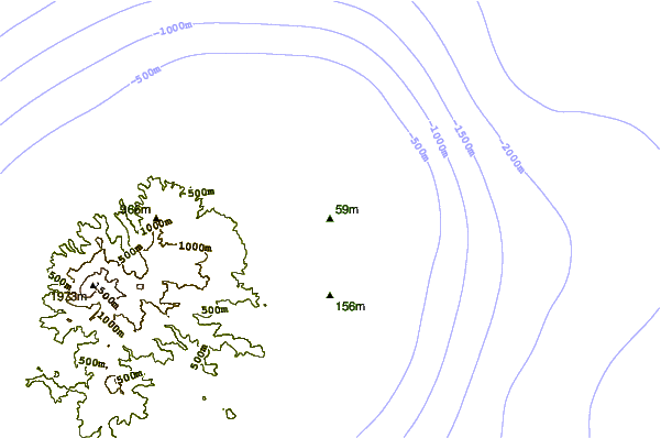
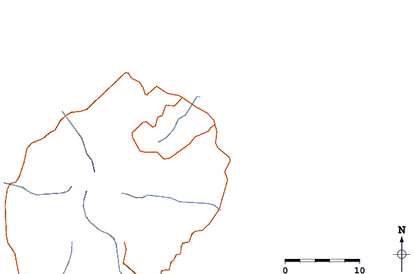
| Contours: | Roads & Rivers: | Select a
tide station / surf break / city |
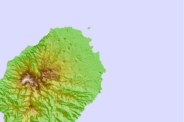
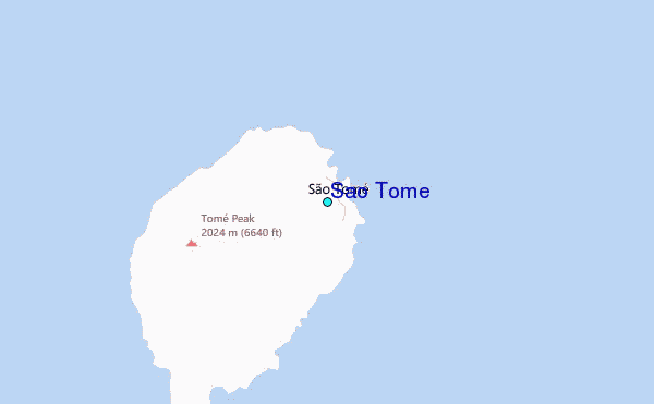
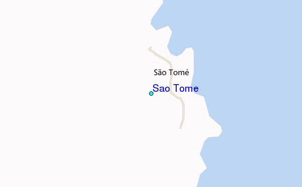
Use this relief map to navigate to tide stations, surf breaks and cities that are in the area of São Tomé.
Other Nearby Locations' tide tables and tide charts to São Tomé:
click location name for more details
 Surf breaks close to São Tomé:
|
||
|---|---|---|
| Closest surf break | Cap Lopez | 152 mi |
| Second closest surf break | Palplanche | 152 mi |
| Third closest surf break | Ferme aux Cochons | 154 mi |
| Fourth closest surf break | PG2 | 155 mi |
| Fifth closest surf break | Plage du Dahu | 157 mi |

 Nearest
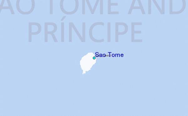