
| Distance / Altitude | Location | Report Date / Time | Live Weather | Wind | Gusts | Temp. | Visibility | Cloud |
|---|---|---|---|---|---|---|---|---|
| 7 km SW / 386 m | Shimoji Shima Island Airport (Japan) | 2024-05-03 02:00 local (2024/05/02 17:00 GMT) | Dry and cloudy | light winds from the ESE (7 km/h at 110) | 23°C | 10.0 | scattered broken overcast | |
| 8 km SE / 42 m | Miyakojima (Japan) | 2024-05-03 02:00 local (2024/05/02 17:00 GMT) | - | light winds from the ESE (7 km/h at 110) | 23°C | 40 km | - no observation - | |
| 9 km SE / 445 m | Miyakojima Island Airport (Japan) | 2024-05-03 02:00 local (2024/05/02 17:00 GMT) | Dry and cloudy | light winds from the ESE (7 km/h at 120) | 23°C | 10.0 | few overcast | |
| 57 km SW / 9 m | Tarama Island (Japan) | 2024-05-03 02:00 local (2024/05/02 17:00 GMT) | Dry and partly cloudy | light winds from the NE.(Wind varies from 360 to 100 degs) (7 km/h at 40) | 24°C | 10.0 | broken broken | |
| 98 km SW / 77 m | Akaishi (Japan) | 2024-05-03 03:00 local (2024/05/02 18:00 GMT) | - | moderate winds from the NNW (22 km/h at 347) | 24°C | - | - - 0 |
| Contours: | Roads & Rivers: | Select a
tide station / surf break / city |
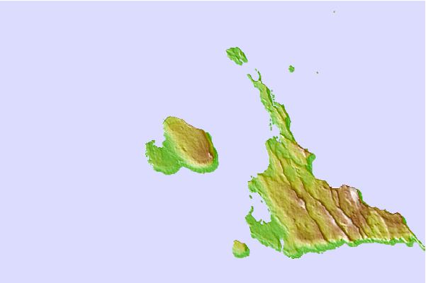
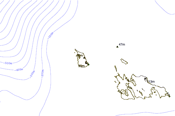
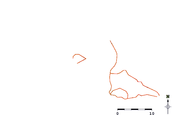
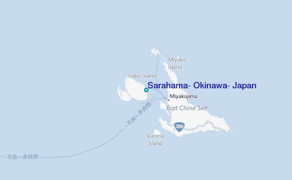
Use this relief map to navigate to tide stations, surf breaks and cities that are in the area of Sarahama, Okinawa, Japan.
Other Nearby Locations' tide tables and tide charts to Sarahama, Okinawa, Japan:
click location name for more details
 Surf breaks close to Sarahama, Okinawa, Japan:
|
||
|---|---|---|
| Closest surf break | Castles | 176 mi |
| Second closest surf break | Suicide Cliffs | 179 mi |
| Third closest surf break | Aja | 180 mi |
| Fourth closest surf break | Yonabaru | 185 mi |
| Fifth closest surf break | Green Pole | 188 mi |

 Nearest
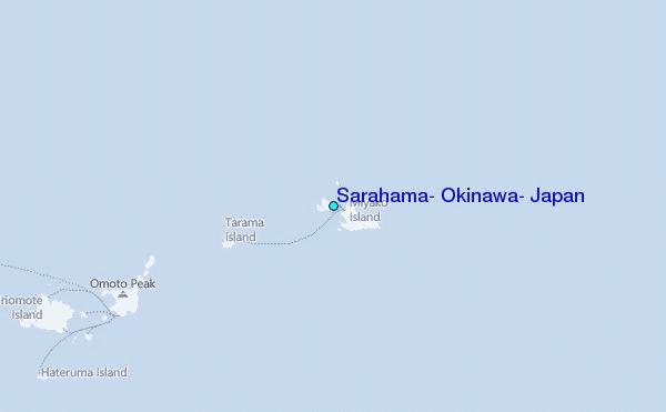