
| Distance / Altitude | Location | Report Date / Time | Live Weather | Wind | Gusts | Temp. | Visibility | Cloud |
|---|---|---|---|---|---|---|---|---|
| 84 km NW / 15 m | General Santos International Airport (Paliparang Pandaigdig ng Heneral Santos) (Philippines) | 2024-05-04 17:00 local (2024/05/04 09:00 GMT) | Light rain showers | light winds from the SSE (18 km/h at 160) | 28°C | 35 km | - overcast - | |
| 190 km S / 38 m | NahaTahuna (Indonesia) | 2024-05-04 17:00 local (2024/05/04 09:00 GMT) | - | light winds from the NNW (9 km/h at 330) | 29°C | 28 km | mostly cloudy | |
| 191 km N / 293 m | Davao/Francisco Bangoy International Airport (Philippines) | 2024-05-04 17:00 local (2024/05/04 09:00 GMT) | Dry and cloudy | calm (4 km/h at 180) | 27°C | 10.0 | scattered overcast broken | |
| 210 km NW / 48 m | Davao Airport (Philippines) | 2024-05-04 17:00 local (2024/05/04 09:00 GMT) | Intermittent light rain | calm (4 km/h at 180) | 28°C | 32 km | - overcast - | |
| 239 km WNW / 53 m | Cotabato-Mindanao (Philippines) | 2024-05-04 17:00 local (2024/05/04 09:00 GMT) | distant precipitation but not falling at station | light winds from the N (11 km/h at 360) | 30°C | 12 | - overcast - |
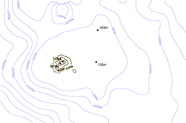
| Contours: | Roads & Rivers: | Select a
tide station / surf break / city |
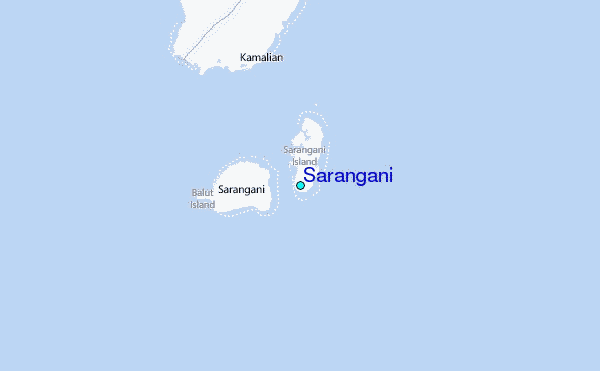
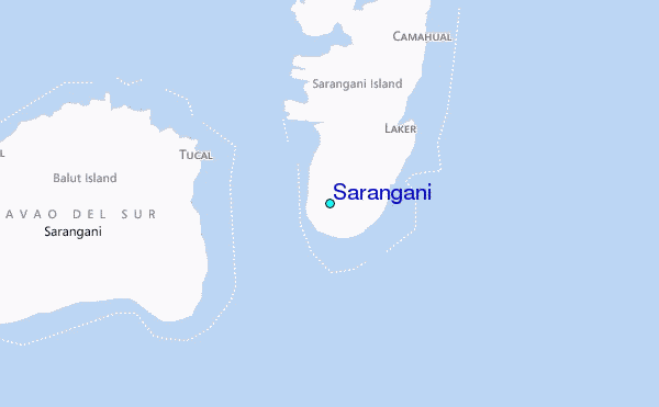
Use this relief map to navigate to tide stations, surf breaks and cities that are in the area of Sarangani.
Other Nearby Locations' tide tables and tide charts to Sarangani:
click location name for more details
 Surf breaks close to Sarangani:
|
||
|---|---|---|
| Closest surf break | Tago River | 255 mi |
| Second closest surf break | Marami Beach | 260 mi |
| Third closest surf break | Lanuza Rivermouth | 268 mi |
| Fourth closest surf break | Big Star | 270 mi |
| Fifth closest surf break | Moshi-Moshi | 271 mi |

 Nearest
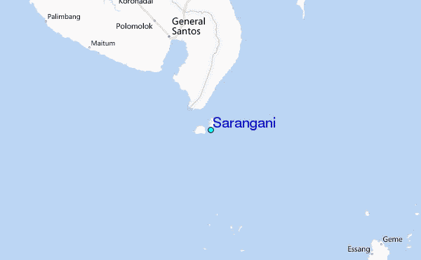