
| Distance / Altitude | Location | Report Date / Time | Live Weather | Wind | Gusts | Temp. | Visibility | Cloud |
|---|---|---|---|---|---|---|---|---|
| 5 km N / 217 m | Patrick Air Force Base Airport (Florida) | 2024-05-01 10:55 local (2024/05/01 14:55 GMT) | Dry and partly cloudy | light winds from the ESE (9 km/h at 110) | 27°C | 16 | scattered | |
| 10 km SSW / 218 m | Melbourne Airport (Florida) | 2024-05-01 10:53 local (2024/05/01 14:53 GMT) | Dry and partly cloudy | calm (0 km/h at 0) | 27°C | 16 | scattered | |
| 26 km NNE / 3 m | Cape Canaveral Nearshore- FL (Marine) | 2024-05-01 11:56 local (2024/05/01 15:56 GMT) | - (- km/h at -) | — | - | |||
| 27 km N / 3 m | BUOY-TRDF1 (Marine) | 2024-05-01 11:48 local (2024/05/01 15:48 GMT) | light winds from the SSE (13 km/h at 160) | 27°C | - | |||
| 32 km NW / 2 m | Merritt Island (Florida) | 2024-05-01 12:09 local (2024/05/01 16:09 GMT) | dry | calm (2 km/h at 46) | 25°C | - | - - 0 |
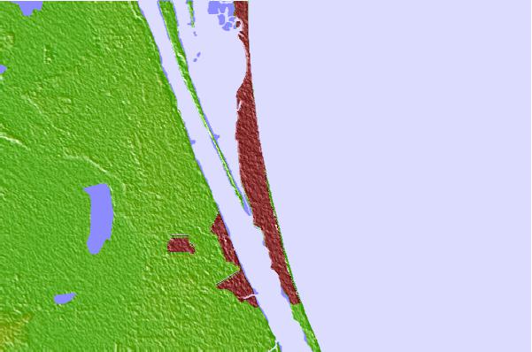
| Contours: | Roads & Rivers: | Select a
tide station / surf break / city |
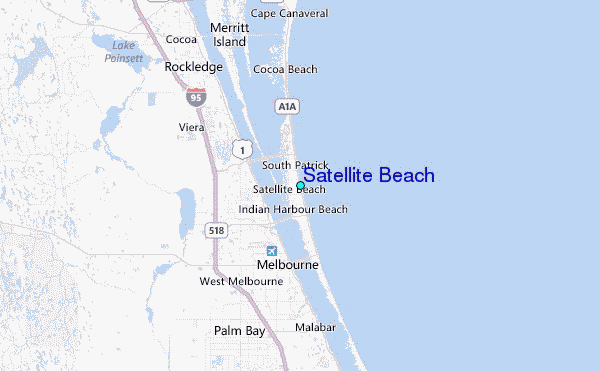
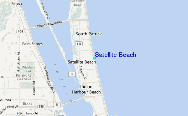
Use this relief map to navigate to tide stations, surf breaks and cities that are in the area of Satellite Beach.
Other Nearby Locations' tide tables and tide charts to Satellite Beach:
click location name for more details
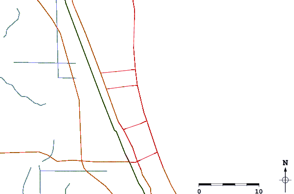
 Surf breaks close to Satellite Beach:
|
||
|---|---|---|
| Closest surf break | Buccaneer | 0 mi |
| Second closest surf break | Peg Leg's | 1 mi |
| Third closest surf break | Satellite Beach/RCs | 1 mi |
| Fourth closest surf break | Hess | 1 mi |
| Fifth closest surf break | Perkins | 2 mi |

 Nearest
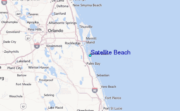