
| Distance / Altitude | Location | Report Date / Time | Live Weather | Wind | Gusts | Temp. | Visibility | Cloud |
|---|---|---|---|---|---|---|---|---|
| 17 km WNW / 219 m | Chester Airport (CT) (United States) | 2024-05-03 08:35 local (2024/05/03 12:35 GMT) | Dry and cloudy | light winds from the N (7 km/h at 1) | 11°C | 16 | overcast | |
| 23 km ENE / 3 m | BUOY-NLHC3 (Marine) | 2024-05-03 09:00 local (2024/05/03 13:00 GMT) | - (- km/h at -) | 11°C | - | |||
| 23 km E / 3 m | BUOY-LDLC3 (Marine) | 2024-05-03 09:30 local (2024/05/03 13:30 GMT) | moderate winds from the ENE (24 km/h at 60) | 11°C | - | |||
| 26 km ENE / 218 m | Groton/New London Airport (Connecticut) | 2024-05-03 07:56 local (2024/05/03 11:56 GMT) | Dry and cloudy | light winds from the NE (17 km/h at 50) | 11°C | 16 | overcast | |
| 42 km SE / 3 m | BUOY-MTKN6 (Marine) | 2024-05-03 09:00 local (2024/05/03 13:00 GMT) | - (- km/h at -) | 10°C | - |
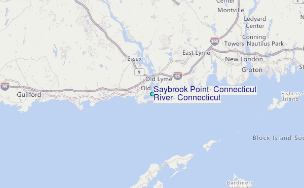
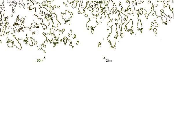
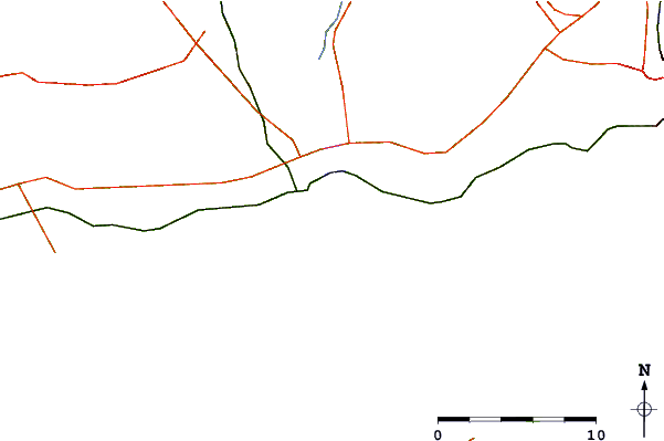
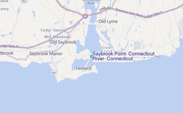
Choose Saybrook Point, Connecticut River, Connecticut Location Map Zoom:
| Contours: | Roads & Rivers: | Select a
tide station / surf break / city |
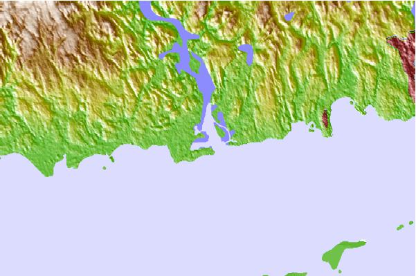
Use this relief map to navigate to tide stations, surf breaks and cities that are in the area of Saybrook Point, Connecticut River, Connecticut.
Other Nearby Locations' tide tables and tide charts to Saybrook Point, Connecticut River, Connecticut:
click location name for more details
 Surf breaks close to Saybrook Point, Connecticut River, Connecticut:
|
||
|---|---|---|
| Closest surf break | Breachway | 25 mi |
| Second closest surf break | Georgica (East Hampton) | 25 mi |
| Third closest surf break | Georgica Pond | 25 mi |
| Fourth closest surf break | Indian Wells | 25 mi |
| Fifth closest surf break | East Beach Lighthouse | 25 mi |

 Nearest
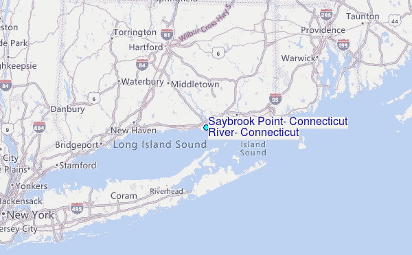