
| Distance / Altitude | Location | Report Date / Time | Live Weather | Wind | Gusts | Temp. | Visibility | Cloud |
|---|---|---|---|---|---|---|---|---|
| 107 km SW / 15 m | ASCATB314E61S (Marine) | 2024-05-02 22:02 local (2024/05/03 01:02 GMT) | fresh winds from the W (33 km/h at 280) | — | - km | |||
| 140 km E / 15 m | ASCATC318E61S (Marine) | 2024-05-02 21:14 local (2024/05/03 00:14 GMT) | moderate winds from the WNW (28 km/h at 288) | — | - km | |||
| 142 km WSW / 15 m | ASCATB313E61S (Marine) | 2024-05-02 22:03 local (2024/05/03 01:03 GMT) | strong winds from the W (40 km/h at 266) | — | - km | |||
| 193 km WSW / 15 m | ASCATB312E61S (Marine) | 2024-05-02 22:03 local (2024/05/03 01:03 GMT) | strong winds from the W (40 km/h at 262) | — | - km | |||
| 205 km NE / 15 m | ASCATC318E60S (Marine) | 2024-05-02 21:15 local (2024/05/03 00:15 GMT) | fresh winds from the WNW (29 km/h at 284) | — | - km |
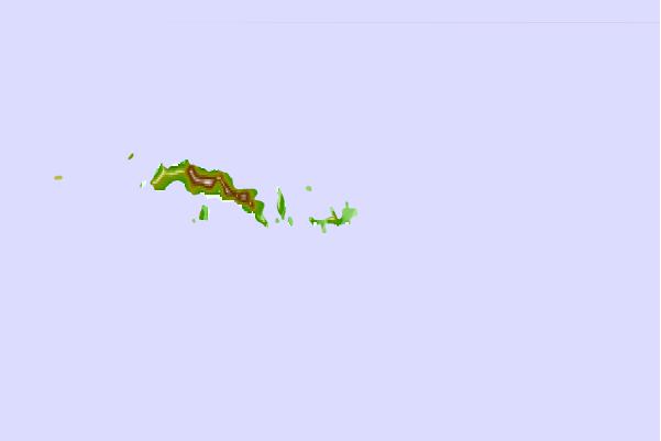
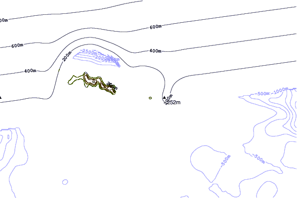
| Contours: | Roads & Rivers: | Select a
tide station / surf break / city |

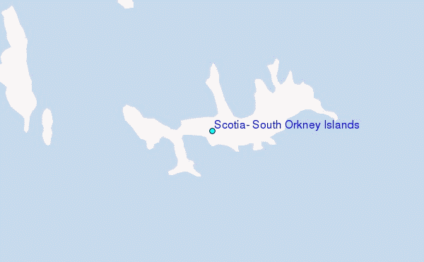
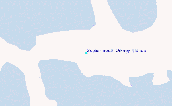
Use this relief map to navigate to tide stations, surf breaks and cities that are in the area of Scotia, South Orkney Islands.
Other Nearby Locations' tide tables and tide charts to Scotia, South Orkney Islands:
click location name for more details
 Surf breaks close to Scotia, South Orkney Islands:
|
||
|---|---|---|
| Closest surf break | Surf Bay | 800 mi |
| Second closest surf break | Bertha's Beach | 803 mi |
| Third closest surf break | Cow Bay | 817 mi |
| Fourth closest surf break | Concirdia Bay | 842 mi |
| Fifth closest surf break | Elephant Beach | 845 mi |

 Nearest
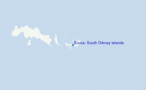