
| Distance / Altitude | Location | Report Date / Time | Live Weather | Wind | Gusts | Temp. | Visibility | Cloud |
|---|---|---|---|---|---|---|---|---|
| 145 km SE / 51 m | Gjoa Haven (Canada) | 2024-04-27 23:00 local (2024/04/28 03:00 GMT) | - | calm (0 km/h at 0) | -25°C | - | no observation | |
| 145 km SE / 47 m | Gjoa Haven (Canada) | 2024-04-27 23:00 local (2024/04/28 03:00 GMT) | no report | light winds from the WNW (11 km/h at 300) | -25°C | 36 km | - clear - | |
| 147 km SE / 217 m | Gjoa Haven Airport (N.w. Territories) | 2024-04-27 23:00 local (2024/04/28 03:00 GMT) | Clear | light winds from the WNW (11 km/h at 300) | -25°C | 14 | ||
| 262 km WSW / 11 m | Cambridge Bay Ua- NU (Canada) | 2024-04-27 23:00 local (2024/04/28 03:00 GMT) | no report | - (- km/h at -) | -13°C | - | - | |
| 264 km WSW / 19 m | Cambridge Bay Gsn- NU (Canada) | 2024-04-27 23:00 local (2024/04/28 03:00 GMT) | no report | light winds from the NW (15 km/h at 310) | -16°C | - | - no observation - |

| Contours: | Roads & Rivers: | Select a
tide station / surf break / city |
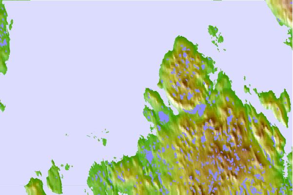
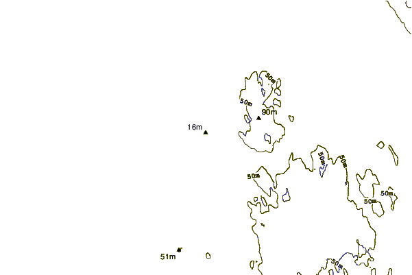
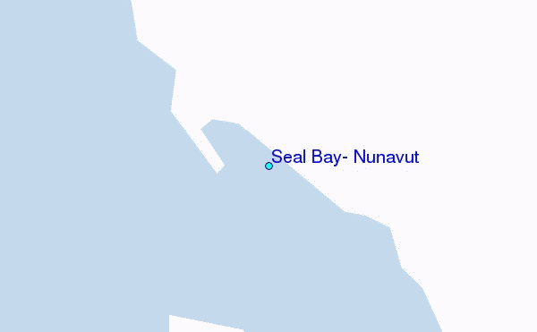
Use this relief map to navigate to tide stations, surf breaks and cities that are in the area of Seal Bay, Nunavut.
Other Nearby Locations' tide tables and tide charts to Seal Bay, Nunavut:
click location name for more details
 Surf breaks close to Seal Bay, Nunavut:
|
||
|---|---|---|
| Closest surf break | Graveyards | 1371 mi |
| Second closest surf break | Cannon Beach | 1372 mi |
| Third closest surf break | Ocean Cape | 1373 mi |
| Fourth closest surf break | Tow Hill Beach | 1489 mi |
| Fifth closest surf break | Marathon | 1492 mi |

 Nearest
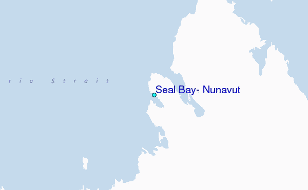