
| Distance / Altitude | Location | Report Date / Time | Live Weather | Wind | Gusts | Temp. | Visibility | Cloud |
|---|---|---|---|---|---|---|---|---|
| 44 km SSE / 15 m | ASCATB358E5N (Marine) | 2024-04-30 20:59 local (2024/04/30 20:59 GMT) | moderate winds from the SW (21 km/h at 232) | — | - km | |||
| 59 km WSW / 8 m | Axim (Ghana) | 2024-04-30 21:00 local (2024/04/30 21:00 GMT) | State of sky unchanged | light winds from the NW (6 km/h at 320) | 25°C | 31 km | mostly cloudy | |
| 64 km SE / 15 m | ASCATB359E4N (Marine) | 2024-04-30 20:59 local (2024/04/30 20:59 GMT) | moderate winds from the SW (21 km/h at 234) | — | - km | |||
| 100 km SW / 15 m | ASCATB358E4N (Marine) | 2024-04-30 20:59 local (2024/04/30 20:59 GMT) | light winds from the W (18 km/h at 266) | — | - km | |||
| 109 km SW / 15 m | ASCATB357E5N (Marine) | 2024-04-30 20:59 local (2024/04/30 20:59 GMT) | light winds from the WNW (17 km/h at 298) | — | - km |
| Contours: | Roads & Rivers: | Select a
tide station / surf break / city |
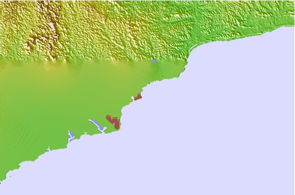
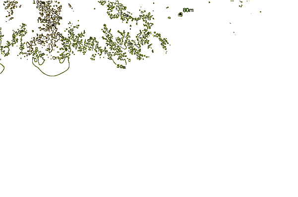
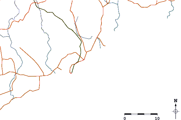
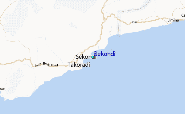
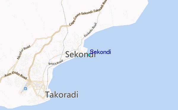
Use this relief map to navigate to tide stations, surf breaks and cities that are in the area of Sekondi.
Other Nearby Locations' tide tables and tide charts to Sekondi:
click location name for more details
 Surf breaks close to Sekondi:
|
||
|---|---|---|
| Closest surf break | Fort Sebastian | 5 mi |
| Second closest surf break | Takoradi | 5 mi |
| Third closest surf break | Busua Beach | 17 mi |
| Fourth closest surf break | Dixcove | 21 mi |
| Fifth closest surf break | Elmina | 24 mi |

 Nearest
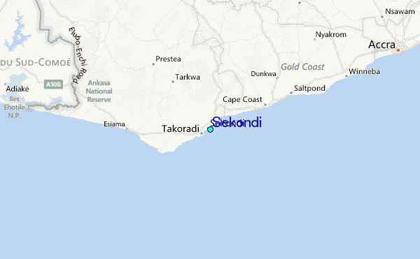