
| Distance / Altitude | Location | Report Date / Time | Live Weather | Wind | Gusts | Temp. | Visibility | Cloud |
|---|---|---|---|---|---|---|---|---|
| 104 km W / 4 m | Wewak (Papua New Guinea) | 2024-05-02 13:00 local (2024/05/02 03:00 GMT) | intermittent light rain | - (- km/h at -) | 27°C | 20 | - | |
| 261 km SSE / 1587 m | Goroka Ats (Papua-New Guinea) | 2024-05-02 13:00 local (2024/05/02 03:00 GMT) | State of sky unchanged | light winds from the (6 km/h at 990) | 25°C | 50 km | mostly cloudy | |
| 325 km SE / 69 m | Mount Hagen Airport (Papua New Guinea) | 2024-05-02 13:00 local (2024/05/02 03:00 GMT) | - | calm (2 km/h at 60) | 26°C | 10.0 | scattered | |
| 383 km SE / 70 m | Nadzab (Papua New Guinea) | 2024-05-02 13:00 local (2024/05/02 03:00 GMT) | Dry and partly cloudy | light winds from the ENE (9 km/h at 60) | 29°C | 10.0 | scattered broken - | |
| 384 km W / 24 m | Vanimo (Papua-new Guinea) | 2024-05-02 13:00 local (2024/05/02 03:00 GMT) | light rain showers | - (- km/h at -) | 28°C | 15 | - |
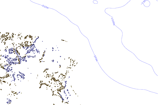
| Contours: | Roads & Rivers: | Select a
tide station / surf break / city |
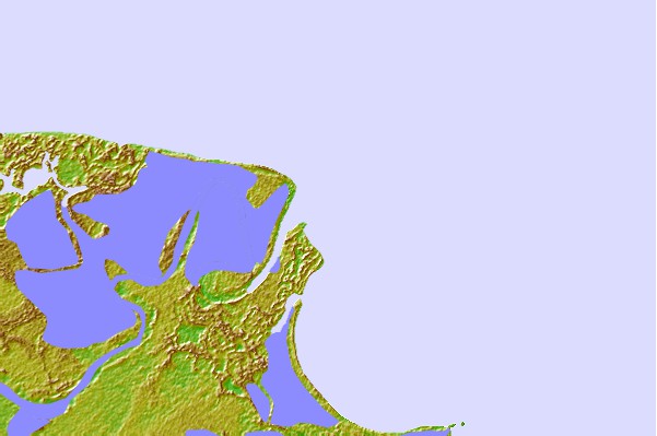
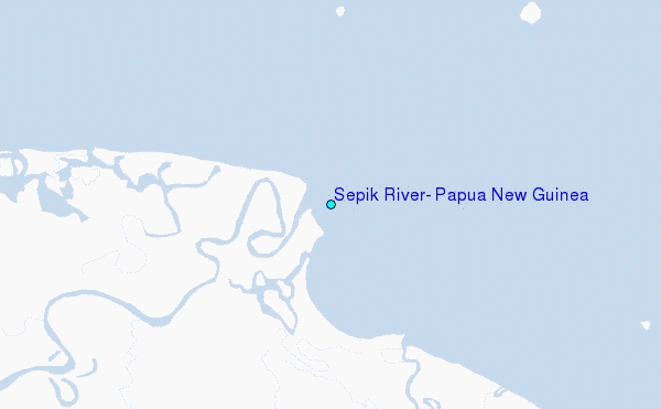
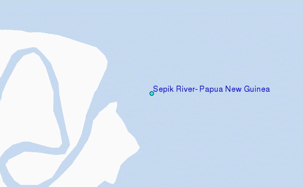
Use this relief map to navigate to tide stations, surf breaks and cities that are in the area of Sepik River, Papua New Guinea.
Other Nearby Locations' tide tables and tide charts to Sepik River, Papua New Guinea:
click location name for more details
 Surf breaks close to Sepik River, Papua New Guinea:
|
||
|---|---|---|
| Closest surf break | Forok Point | 58 mi |
| Second closest surf break | Moem Point | 63 mi |
| Third closest surf break | The Wharf (Mission Point) | 65 mi |
| Fourth closest surf break | Wewak Point | 68 mi |
| Fifth closest surf break | Cape Barabar | 71 mi |

 Nearest
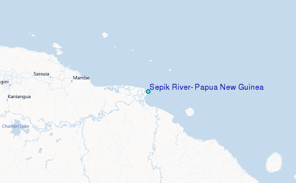