
| Distance / Altitude | Location | Report Date / Time | Live Weather | Wind | Gusts | Temp. | Visibility | Cloud |
|---|---|---|---|---|---|---|---|---|
| 118 km SSE / 5 m | Hall Beach (Canada) | 2024-04-29 02:00 local (2024/04/29 06:00 GMT) | Continuous light snow | light winds from the WSW (9 km/h at 250) | -19°C | 31 km | - no observation - | |
| 118 km SSE / 210 m | Hall Beach Airport (N.w. Territories) | 2024-04-29 02:00 local (2024/04/29 06:00 GMT) | Light snow | light winds from the SW.(Wind varies from 210 to 280 degs) (7 km/h at 220) | -19°C | 11 | ||
| 335 km SW / 17 m | Kugaaruk Climate (Canada) | 2024-04-29 02:00 local (2024/04/29 06:00 GMT) | - | light winds from the W (17 km/h at 270) | -16°C | - | no observation | |
| 354 km NNE / 217 m | Pond Inlet Airport (N.w. Territories) | 2024-04-29 02:00 local (2024/04/29 06:00 GMT) | Dry and cloudy | light winds from the WSW (11 km/h at 250) | -13°C | 14 | overcast | |
| 357 km NNE / 62 m | PondInletA- NU (Canada) | 2024-04-29 02:00 local (2024/04/29 06:00 GMT) | - | light winds from the WSW (13 km/h at 250) | -13°C | 36 km | - overcast - |
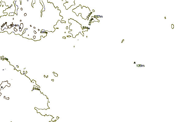
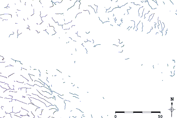
| Contours: | Roads & Rivers: | Select a
tide station / surf break / city |
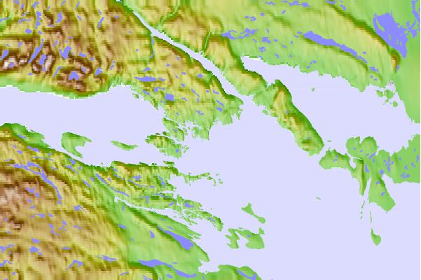
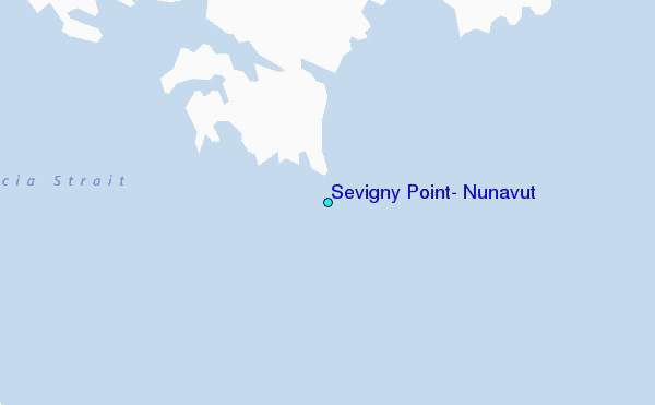
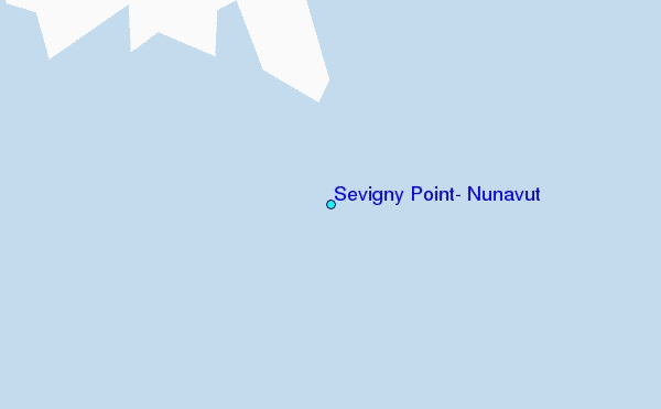
Use this relief map to navigate to tide stations, surf breaks and cities that are in the area of Sevigny Point, Nunavut.
Other Nearby Locations' tide tables and tide charts to Sevigny Point, Nunavut:
click location name for more details
 Surf breaks close to Sevigny Point, Nunavut:
|
||
|---|---|---|
| Closest surf break | Marathon | 1463 mi |
| Second closest surf break | Keweenaw Peninsula | 1557 mi |
| Third closest surf break | Alona Bay | 1566 mi |
| Fourth closest surf break | Garur | 1590 mi |
| Fifth closest surf break | Apostle Islands | 1595 mi |

 Nearest
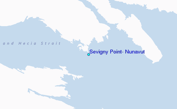