
| Distance / Altitude | Location | Report Date / Time | Live Weather | Wind | Gusts | Temp. | Visibility | Cloud |
|---|---|---|---|---|---|---|---|---|
| 12 km N / 11 m | Dalatangi (4197 -0) (Iceland) | 2024-04-29 21:00 local (2024/04/29 21:00 GMT) | distant precipitation but not falling at station | fresh winds from the NNW (30 km/h at 330) | 4°C | 70 | - - - | |
| 38 km W / 214 m | Egilsstadir Airport (Iceland) | 2024-04-29 21:00 local (2024/04/29 21:00 GMT) | Light rain | light winds from the N (19 km/h at 360) | — | 1.0 | ||
| 60 km N / 3 m | SHIP9736 (Marine) | 2024-04-29 21:00 local (2024/04/29 21:00 GMT) | - (- km/h at -) | — | - | |||
| 60 km NE / 15 m | ASCATB347E65N (Marine) | 2024-04-29 19:57 local (2024/04/29 19:57 GMT) | fresh winds from the NNE (30 km/h at 14) | — | - km | |||
| 60 km N / 15 m | SHIP10733 (Marine) | 2024-04-29 20:00 local (2024/04/29 20:00 GMT) | - (- km/h at -) | — | - km |
| Contours: | Roads & Rivers: | Select a
tide station / surf break / city |
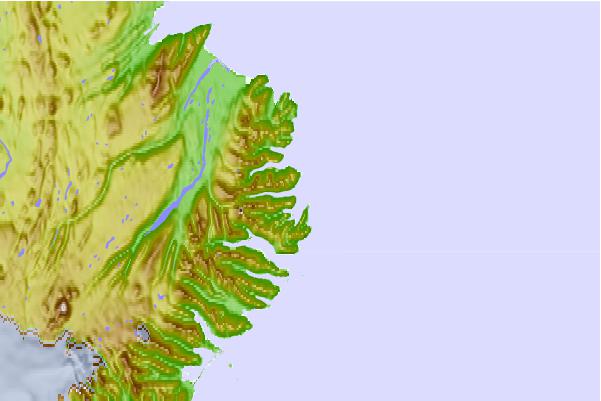
Use this relief map to navigate to tide stations, surf breaks and cities that are in the area of Seyðisfjörður, Iceland.
Other Nearby Locations' tide tables and tide charts to Seyoisfjorour, Iceland:
click location name for more details
 Surf breaks close to Seyoisfjorour, Iceland:
|
||
|---|---|---|
| Closest surf break | Eyvik | 124 mi |
| Second closest surf break | Þorlákshöfn or Porlackshofn | 248 mi |
| Third closest surf break | Grotta | 259 mi |
| Fourth closest surf break | Hafnarfjordur | 260 mi |
| Fifth closest surf break | Grindavik Lighthouse ( Hopsnesta) | 278 mi |

 Nearest