
| Distance / Altitude | Location | Report Date / Time | Live Weather | Wind | Gusts | Temp. | Visibility | Cloud |
|---|---|---|---|---|---|---|---|---|
| 57 km SSW / 7 m | YampiSound(Defence) (Australia) | 2024-04-29 04:00 local (2024/04/28 20:00 GMT) | no report | calm (0 km/h at 0) | 16°C | - | - no observation - | |
| 131 km S / 7 m | Derby Airport (Australia) | 2024-04-29 04:00 local (2024/04/28 20:00 GMT) | Clear skies | light winds from the SE (17 km/h at 130) | 23°C | - | - no observation - | |
| 143 km S / 78 m | Curtin/Derby Airport (Australia) | 2024-04-29 04:00 local (2024/04/28 20:00 GMT) | Dry and partly cloudy | light winds from the E (15 km/h at 100) | 22°C | 10.0 | no cloud no observation - | |
| 143 km S / 78 m | Curtin (Australia) | 2024-04-29 03:00 local (2024/04/28 19:00 GMT) | no report | light winds from the E (15 km/h at 90) | 22°C | - | - - - | |
| 159 km WNW / 6 m | AdeleIsland (Australia) | 2024-04-29 04:00 local (2024/04/28 20:00 GMT) | no report | light winds from the ESE (19 km/h at 120) | 29°C | - | - no observation - |
| Contours: | Roads & Rivers: | Select a
tide station / surf break / city |
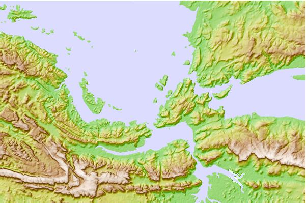
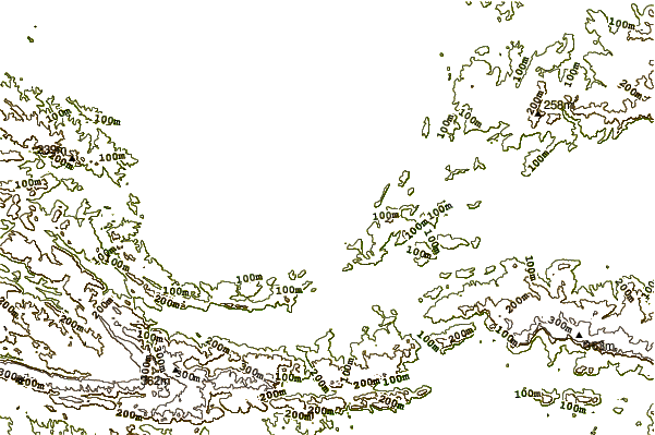
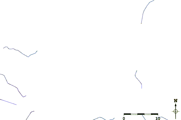
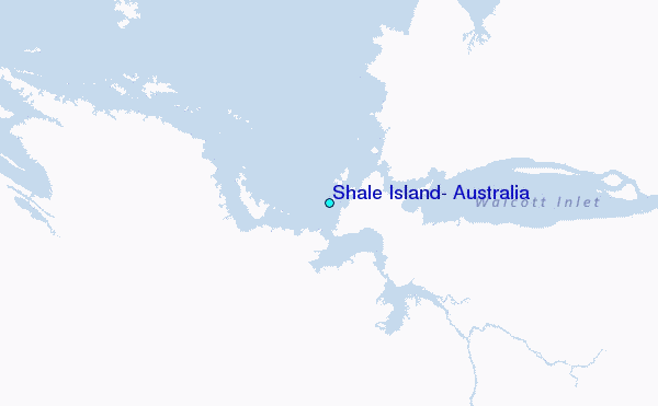
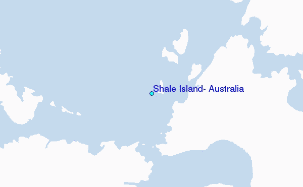
Use this relief map to navigate to tide stations, surf breaks and cities that are in the area of Shale Island, Australia.
Other Nearby Locations' tide tables and tide charts to Shale Island, Australia:
click location name for more details
 Surf breaks close to Shale Island, Australia:
|
||
|---|---|---|
| Closest surf break | Cable Beach (Broome) | 175 mi |
| Second closest surf break | Gantheaume Point (Broome) | 180 mi |
| Third closest surf break | Ndana | 388 mi |
| Fourth closest surf break | Boa | 390 mi |
| Fifth closest surf break | Peanuts | 390 mi |

 Nearest
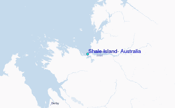