
| Distance / Altitude | Location | Report Date / Time | Live Weather | Wind | Gusts | Temp. | Visibility | Cloud |
|---|---|---|---|---|---|---|---|---|
| 2 km N / 217 m | Shirley Airport (New York) | 2024-04-29 06:56 local (2024/04/29 10:56 GMT) | Clear | light winds from the WNW (7 km/h at 290) | 18°C | 16 | ||
| 12 km S / 12 m | Shirley (New York) | 2024-04-29 08:19 local (2024/04/29 12:19 GMT) | - | calm (0 km/h at 0) | — | - | - - 0 | |
| 20 km WSW / 218 m | Islip Airport (New York) | 2024-04-29 06:56 local (2024/04/29 10:56 GMT) | - | calm (0 km/h at 0) | 18°C | 16 | few few broken | |
| 22 km ENE / 216 m | Westhampton Beach/Francis S. Gabreski Airport (New York) | 2024-04-29 06:53 local (2024/04/29 10:53 GMT) | Mist - | light winds from the NNW (7 km/h at 330) | 16°C | 8 | ||
| 36 km WSW / 283 m | Brookhaven Lab Airport (New York) | 2024-04-29 07:35 local (2024/04/29 11:35 GMT) | Clear | calm (0 km/h at 0) | 11°C | 16 |
| Contours: | Roads & Rivers: | Select a
tide station / surf break / city |
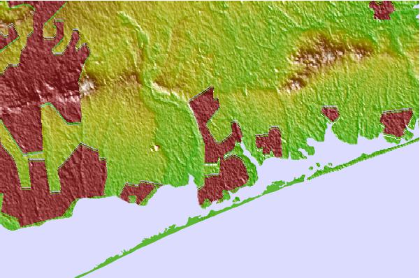
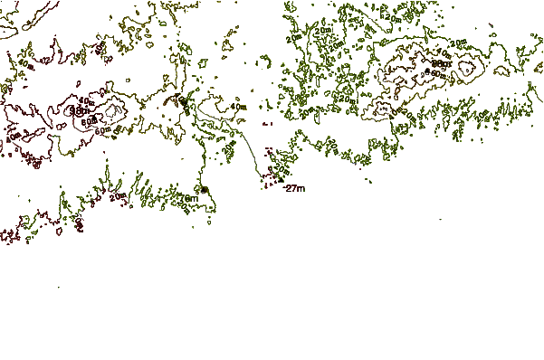
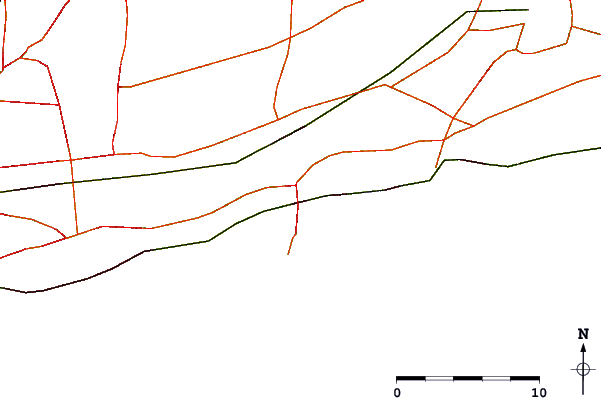
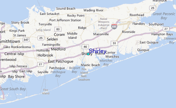
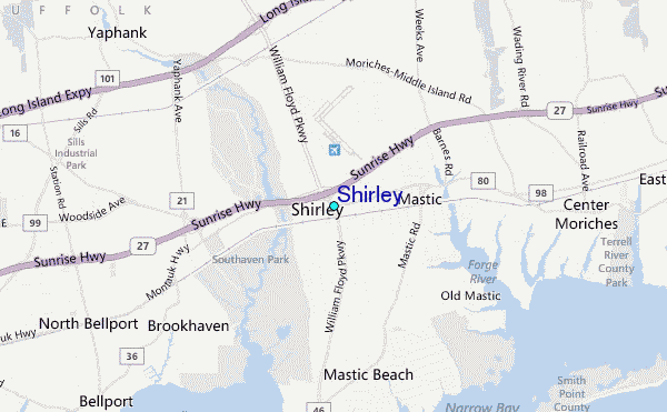
Use this relief map to navigate to tide stations, surf breaks and cities that are in the area of Shirley.
Other Nearby Locations' tide tables and tide charts to Shirley:
click location name for more details
 Surf breaks close to Shirley:
|
||
|---|---|---|
| Closest surf break | Fire Island | 5 mi |
| Second closest surf break | Cupsogue | 9 mi |
| Third closest surf break | Jetty | 11 mi |
| Fourth closest surf break | Point o Woods | 17 mi |
| Fifth closest surf break | Road K | 19 mi |

 Nearest
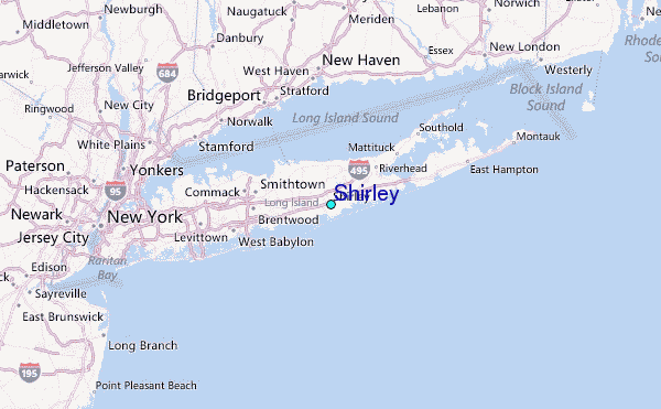