
| Distance / Altitude | Location | Report Date / Time | Live Weather | Wind | Gusts | Temp. | Visibility | Cloud |
|---|---|---|---|---|---|---|---|---|
| 240 km N / - m | SHIP5561 (ocean) | 2024-04-27 22:00 local (2024/04/27 11:00 GMT) | State of sky unchanged | fresh winds from the SE (30 km/h at 140) | 29°C | 20 km | overcast | |
| 441 km W / 359 m | Port Moresby International Airport (Papua New Guinea) | 2024-04-27 23:00 local (2024/04/27 12:00 GMT) | Dry and partly cloudy | light winds from the SE (11 km/h at 140) | 27°C | 10.0 | scattered | |
| 652 km S / 472 m | Willis Island (Australia) | 2024-04-27 23:00 local (2024/04/27 12:00 GMT) | no report | fresh winds from the ESE (37 km/h at 120) | 27°C | - | - no observation - | |
| 699 km SSW / 13 m | BougainvilleReef (Australia) | 2024-04-27 23:00 local (2024/04/27 12:00 GMT) | no report | fresh winds from the SE (30 km/h at 130) | 27°C | - | - no observation - | |
| 743 km S / 0 m | Lihou Reef Lighthouse (Australia) | 2024-04-27 23:00 local (2024/04/27 12:00 GMT) | No report | fresh winds from the SE (35 km/h at 130) | 27°C | - | - no observation - |
| Contours: | Roads & Rivers: | Select a
tide station / surf break / city |
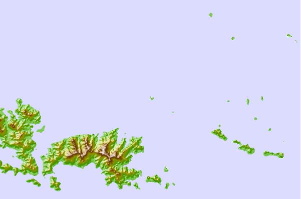
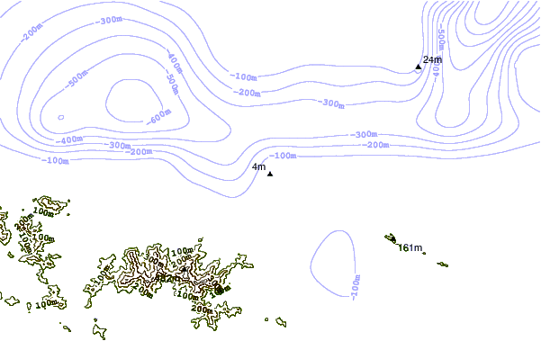
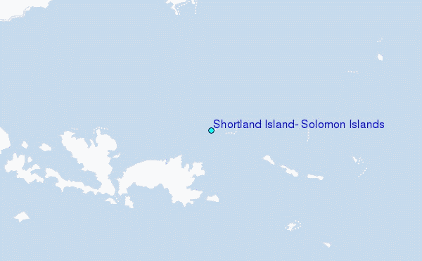
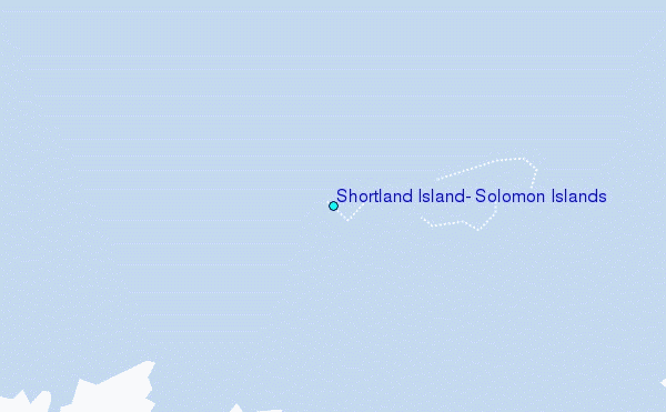
Use this relief map to navigate to tide stations, surf breaks and cities that are in the area of Shortland Island, Solomon Islands.
Other Nearby Locations' tide tables and tide charts to Shortland Island, Solomon Islands:
click location name for more details
 Surf breaks close to Shortland Island, Solomon Islands:
|
||
|---|---|---|
| Closest surf break | Pailongge | 424 mi |
| Second closest surf break | Titiana | 426 mi |
| Third closest surf break | Raiven | 433 mi |
| Fourth closest surf break | Makuti | 433 mi |
| Fifth closest surf break | Despretes | 438 mi |

 Nearest
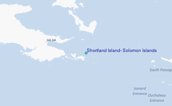