
| Distance / Altitude | Location | Report Date / Time | Live Weather | Wind | Gusts | Temp. | Visibility | Cloud |
|---|---|---|---|---|---|---|---|---|
| 28 km NNE / 15 m | SHIP9818 (Marine) | 2024-04-28 22:00 local (2024/04/28 22:00 GMT) | - (- km/h at -) | — | - km | |||
| 52 km SSE / 211 m | Akureyri Airport (Iceland) | 2024-04-28 23:00 local (2024/04/28 23:00 GMT) | Dry and partly cloudy | light winds from the W (6 km/h at 280) | 3°C | 10.0 | scattered | |
| 122 km ESE / 386 m | Grimsstadir (Iceland) | 2024-04-29 00:00 local (2024/04/29 00:00 GMT) | no report | - (- km/h at -) | 5°C | 50 | - | |
| 123 km ENE / 10 m | Raufarhofn (Iceland) | 2024-04-29 00:00 local (2024/04/29 00:00 GMT) | no report | light winds from the E (11 km/h at 90) | 2°C | - | - | |
| 28 km NNE / 15 m | SHIP2653 (Marine) | 2024-04-28 22:00 local (2024/04/28 22:00 GMT) | - (- km/h at -) | — | - km |
| Contours: | Roads & Rivers: | Select a
tide station / surf break / city |
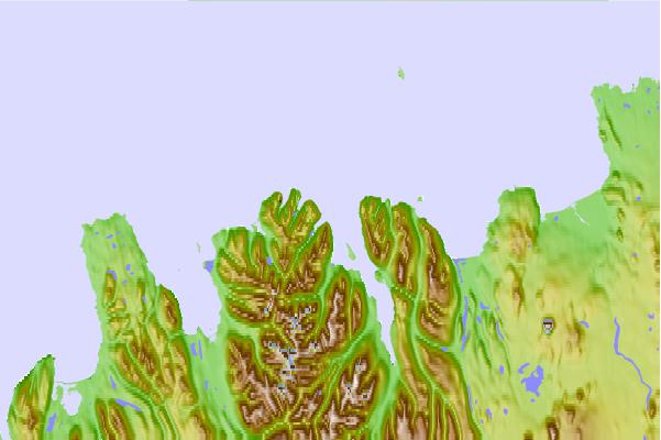
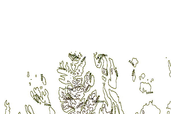
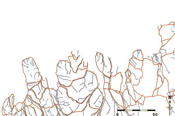
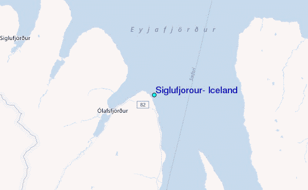
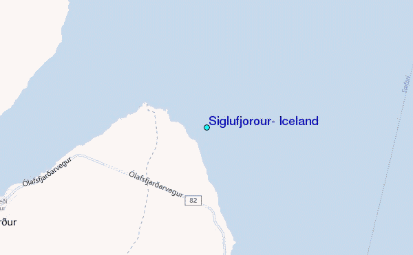
Use this relief map to navigate to tide stations, surf breaks and cities that are in the area of Siglufjörður, Iceland.
Other Nearby Locations' tide tables and tide charts to Siglufjorour, Iceland:
click location name for more details
 Surf breaks close to Siglufjorour, Iceland:
|
||
|---|---|---|
| Closest surf break | Eyvik | 34 mi |
| Second closest surf break | Grotta | 167 mi |
| Third closest surf break | Hafnarfjordur | 173 mi |
| Fourth closest surf break | Þorlákshöfn or Porlackshofn | 175 mi |
| Fifth closest surf break | Garur | 184 mi |

 Nearest
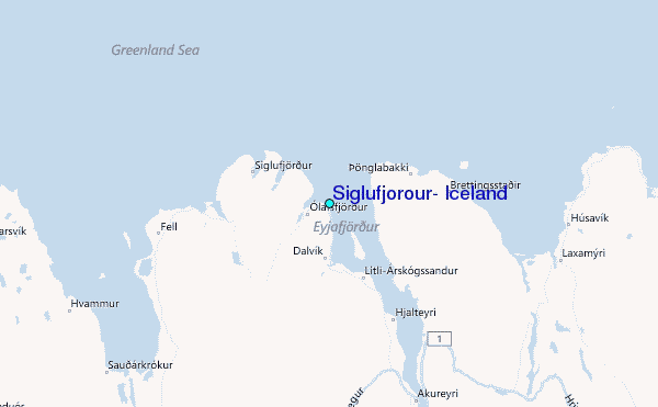