
| Distance / Altitude | Location | Report Date / Time | Live Weather | Wind | Gusts | Temp. | Visibility | Cloud |
|---|---|---|---|---|---|---|---|---|
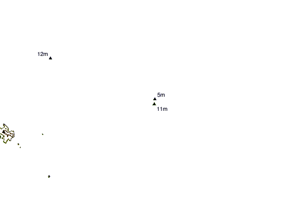
| 98 km S / 18 m | Lockhart River (Australia) | 2024-04-29 13:00 local (2024/04/29 03:00 GMT) | Clear skies | fresh winds from the ESE (31 km/h at 120) | 29°C | - | - no observation - | |
| 169 km SW / 40 m | SchergerRaaf (Australia) | 2024-04-29 13:00 local (2024/04/29 03:00 GMT) | - | light winds from the E (15 km/h at 100) | 30°C | - | - no observation - | |
| 189 km SW / 471 m | Weipa Aerodrome (Australia) | 2024-04-29 13:00 local (2024/04/29 03:00 GMT) | Clear skies | moderate winds from the E (28 km/h at 100) | 29°C | - | - overcast - | |
| 195 km WNW / 13 m | Horn Island Airport (Australia) | 2024-04-29 12:43 local (2024/04/29 02:43 GMT) | Dry and partly cloudy | moderate winds from the SE (22 km/h at 140) | 28°C | 10.0 | scattered scattered broken | |
| 196 km WNW / 5 m | Horn Island Automatic Weather Station (Australia) | 2024-04-29 13:00 local (2024/04/29 03:00 GMT) | Clear skies | moderate winds from the SE (26 km/h at 130) | 30°C | - | - no observation - |
| Contours: | Roads & Rivers: | Select a
tide station / surf break / city |
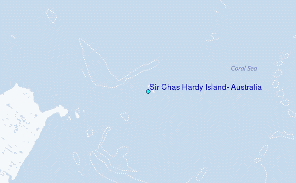
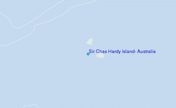
Use this relief map to navigate to tide stations, surf breaks and cities that are in the area of Sir Chas Hardy Island, Australia.
Other Nearby Locations' tide tables and tide charts to Sir Chas Hardy Island, Australia:
click location name for more details
 Surf breaks close to Sir Chas Hardy Island, Australia:
|
||
|---|---|---|
| Closest surf break | Tupira Right | 533 mi |
| Second closest surf break | Forok Point | 574 mi |
| Third closest surf break | The Wharf (Mission Point) | 577 mi |
| Fourth closest surf break | Moem Point | 579 mi |
| Fifth closest surf break | Wewak Point | 579 mi |

 Nearest
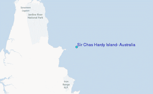