
| Distance / Altitude | Location | Report Date / Time | Live Weather | Wind | Gusts | Temp. | Visibility | Cloud |
|---|---|---|---|---|---|---|---|---|
| 141 km W / 30 m | Georgetown Airport (Guyana) | 2024-05-07 23:00 local (2024/05/08 03:00 GMT) | Haze | light winds from the E (7 km/h at 90) | 26°C | 10.0 | few scattered - | |
| 179 km ENE / 15 m | ASCATB304E6N (Marine) | 2024-05-07 21:17 local (2024/05/08 01:17 GMT) | fresh winds from the ENE (30 km/h at 75) | — | - km | |||
| 219 km ESE / 15 m | Zanderij (Suriname) | 2024-05-07 23:00 local (2024/05/08 03:00 GMT) | Haze | calm (0 km/h at 0) | 26°C | 30 km | scattered | |
| 223 km ESE / 469 m | Johan A. Pengel Airport (Suriname) | 2024-05-07 22:00 local (2024/05/08 02:00 GMT) | - | calm (0 km/h at 0) | 26°C | 10.0 | few | |
| 291 km ENE / 15 m | ASCATB305E6N (Marine) | 2024-05-07 21:17 local (2024/05/08 01:17 GMT) | fresh winds from the ENE (30 km/h at 76) | — | - km |
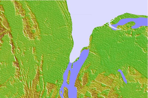
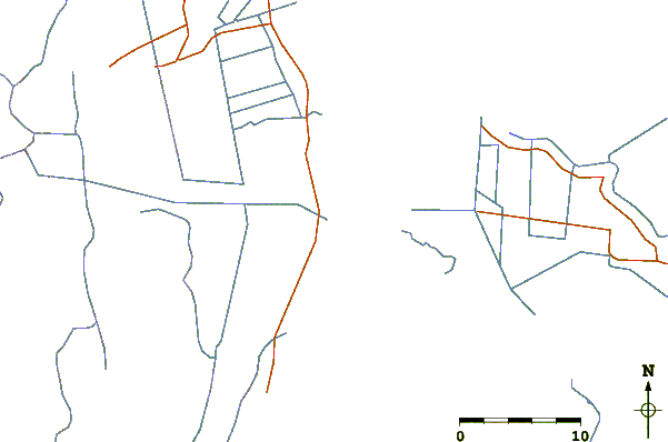
| Contours: | Roads & Rivers: | Select a
tide station / surf break / city |
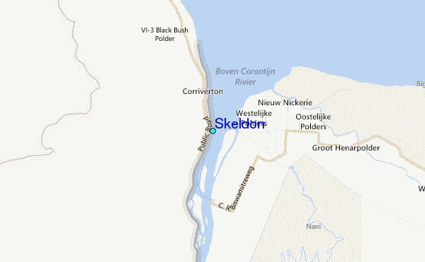
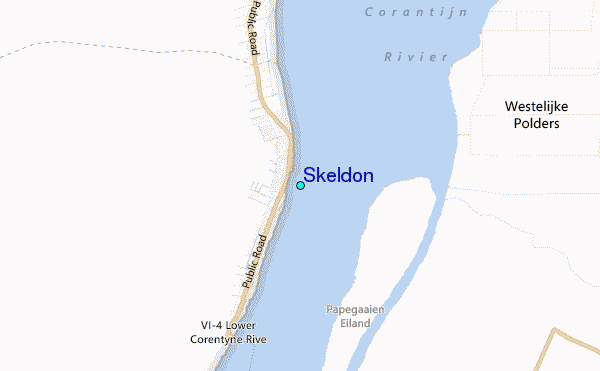
Use this relief map to navigate to tide stations, surf breaks and cities that are in the area of Skeldon.
Other Nearby Locations' tide tables and tide charts to Skeldon:
click location name for more details
 Surf breaks close to Skeldon:
|
||
|---|---|---|
| Closest surf break | Saint Joseph (Iles du Salut) | 316 mi |
| Second closest surf break | Ilet du Novotel | 339 mi |
| Third closest surf break | Anse de Rémire (L'apcat) | 342 mi |
| Fourth closest surf break | Mahury | 343 mi |
| Fifth closest surf break | La Mère | 347 mi |

 Nearest
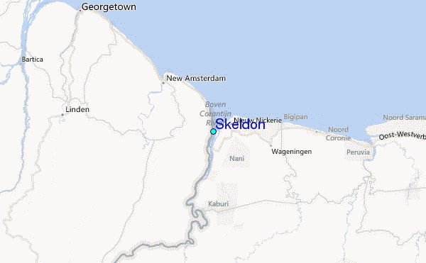