
| Distance / Altitude | Location | Report Date / Time | Live Weather | Wind | Gusts | Temp. | Visibility | Cloud |
|---|---|---|---|---|---|---|---|---|
| 24 km S / 15 m | SHIP9318 (Marine) | 2024-04-29 02:30 local (2024/04/28 21:00 GMT) | light winds from the SE (14.4 km/h at 130) | — | - km | |||
| 28 km S / 52 m | Dabolim Airport - Goa (India) | 2024-04-29 02:30 local (2024/04/28 21:00 GMT) | Dry and partly cloudy | calm (4 km/h at 1) | 29°C | 6.0 | scattered | |
| 318 km SSE / 103 m | Mangalore International Airport (Bajpe) (India) | 2024-04-29 03:00 local (2024/04/28 21:30 GMT) | - | light winds from the E (6 km/h at 80) | 29°C | 6.0 | few | |
| 402 km NW / 195 m | Bombay/Santacruz Airport (India) | 2024-04-29 03:00 local (2024/04/28 21:30 GMT) | - | light winds from the N (6 km/h at 350) | — | 3.0 | ||
| 24 km S / 15 m | SHIP6283 (Marine) | 2024-04-29 02:30 local (2024/04/28 21:00 GMT) | light winds from the SE (14.4 km/h at 130) | — | - km |
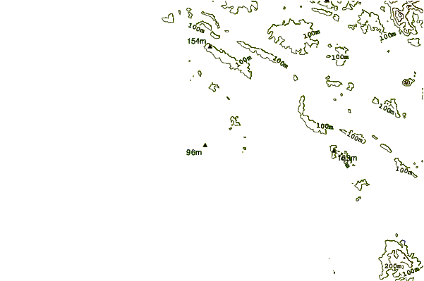
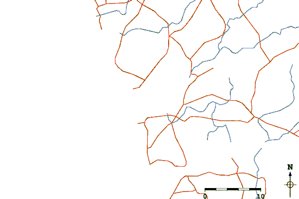
| Contours: | Roads & Rivers: | Select a
tide station / surf break / city |
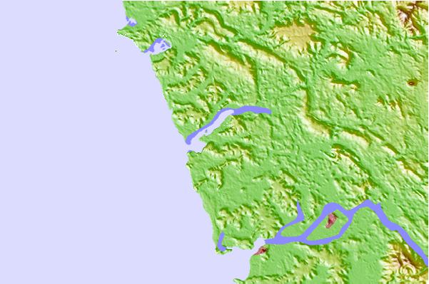
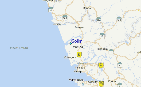
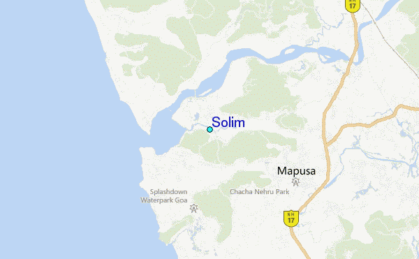
Use this relief map to navigate to tide stations, surf breaks and cities that are in the area of Solim.
Other Nearby Locations' tide tables and tide charts to Solim:
click location name for more details
 Surf breaks close to Solim:
|
||
|---|---|---|
| Closest surf break | Arambol | 6 mi |
| Second closest surf break | Betalbatim Beach Taj | 24 mi |
| Third closest surf break | Benaulim Beach | 27 mi |
| Fourth closest surf break | Gokarna Beach | 82 mi |
| Fifth closest surf break | Kudle -Beach (Gokarna) | 84 mi |

 Nearest
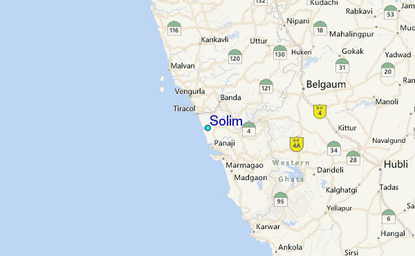