
| Distance / Altitude | Location | Report Date / Time | Live Weather | Wind | Gusts | Temp. | Visibility | Cloud |
|---|---|---|---|---|---|---|---|---|
| 161 km S / 12 m | Cam Ranh Bay Airport (Viet nam) | 2024-04-29 08:30 local (2024/04/29 01:30 GMT) | - | light winds from the WSW (17 km/h at 240) | 32°C | 10.0 | few | |
| 243 km WSW / 330 m | Rattanakiri (Cambodia) | 2024-04-29 08:00 local (2024/04/29 01:00 GMT) | no report | calm (4 km/h at 70) | 30°C | - | - | |
| 293 km ESE / - m | SHIP4877 (ocean) | 2024-04-29 09:00 local (2024/04/29 02:00 GMT) | State of sky unchanged | moderate winds from the SE (22 km/h at 140) | 31°C | 20 km | few | |
| 304 km SSW / 205 m | Ấp Phước Quả B wx (Vietnam) | 2024-04-29 09:38 local (2024/04/29 02:38 GMT) | dry | calm (3 km/h at 141) | 32°C | - | - - 0 | |
| 307 km NW / 676 m | Da Nang International Airport (Viet Nam) | 2024-04-29 08:30 local (2024/04/29 01:30 GMT) | - | calm (4 km/h at 1) | — | 0.0 |
| Contours: | Roads & Rivers: | Select a
tide station / surf break / city |
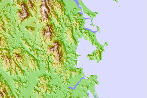
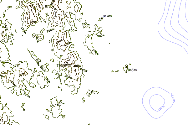
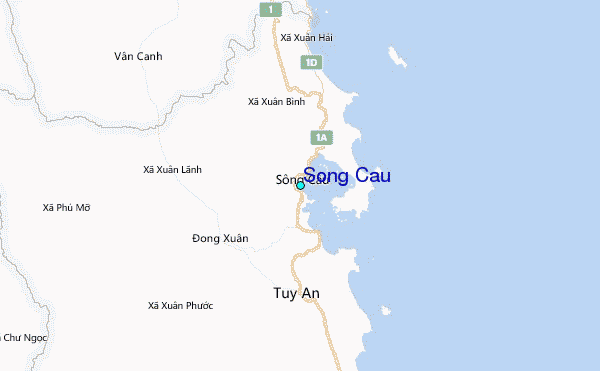
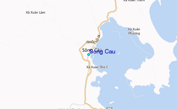
Use this relief map to navigate to tide stations, surf breaks and cities that are in the area of Song Cau.
Other Nearby Locations' tide tables and tide charts to Song Cau:
click location name for more details
 Surf breaks close to Song Cau:
|
||
|---|---|---|
| Closest surf break | Dark Reef | 89 mi |
| Second closest surf break | Bai Dai Nha Trang | 92 mi |
| Third closest surf break | Cue Dai Beach | 178 mi |
| Fourth closest surf break | Mui Ne | 185 mi |
| Fifth closest surf break | China Beach | 186 mi |

 Nearest
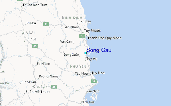