
| Distance / Altitude | Location | Report Date / Time | Live Weather | Wind | Gusts | Temp. | Visibility | Cloud |
|---|---|---|---|---|---|---|---|---|
| 14 km WSW / 22 m | SheringhamPoint-BC (Canada) | 2024-04-27 14:00 local (2024/04/27 21:00 GMT) | - | calm (4 km/h at 100) | 10°C | - | no observation | |
| 14 km WSW / 216 m | Sheringham Airport (British Columbia) | 2024-04-27 13:00 local (2024/04/27 20:00 GMT) | - | light winds from the WNW (7 km/h at 290) | 10°C | 0.0 | ||
| 17 km ESE / 31 m | Race Rocks Airport (Canada) | 2024-04-27 14:00 local (2024/04/27 21:00 GMT) | - | light winds from the ENE (13 km/h at 60) | 9°C | - | no observation | |
| 19 km ESE / 215 m | Race Rocks Airport (British Columbia) | 2024-04-27 13:00 local (2024/04/27 20:00 GMT) | - | moderate winds from the ESE (22 km/h at 110) | 9°C | 0.0 | ||
| 20 km ENE / 52 m | Victoria (British Columbia) | 2024-04-27 14:17 local (2024/04/27 21:17 GMT) | dry | calm (2 km/h at 24) | 11°C | - | - - 0 |
| Contours: | Roads & Rivers: | Select a
tide station / surf break / city |
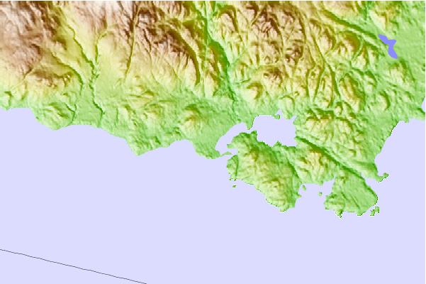
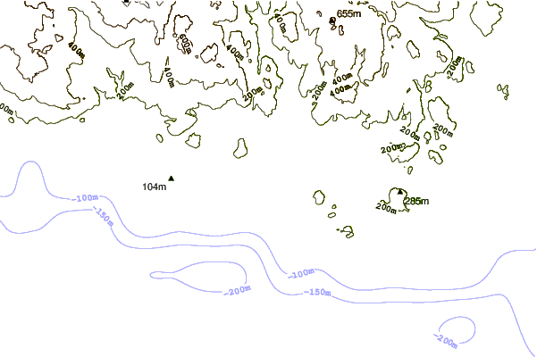
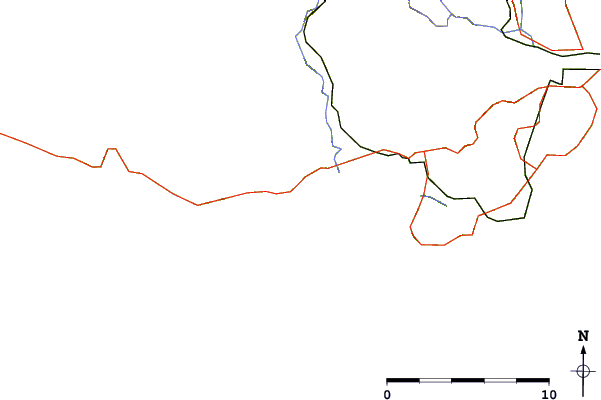
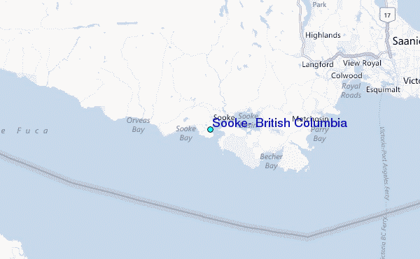
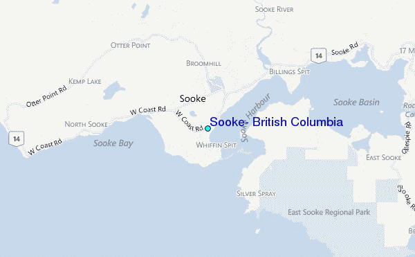
Use this relief map to navigate to tide stations, surf breaks and cities that are in the area of Sooke, British Columbia.
Other Nearby Locations' tide tables and tide charts to Sooke, British Columbia:
click location name for more details
 Surf breaks close to Sooke, British Columbia:
|
||
|---|---|---|
| Closest surf break | Jordan River | 11 mi |
| Second closest surf break | Crescent | 14 mi |
| Third closest surf break | Lyre River | 15 mi |
| Fourth closest surf break | Whiskey Creek | 15 mi |
| Fifth closest surf break | China Beach | 17 mi |

 Nearest
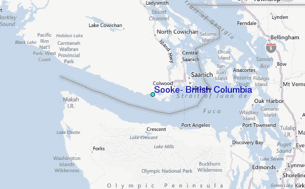