
| Distance / Altitude | Location | Report Date / Time | Live Weather | Wind | Gusts | Temp. | Visibility | Cloud |
|---|---|---|---|---|---|---|---|---|
| 6 km SW / 466 m | Puerto Plata IN Airport (Dominican Republic) | 2024-05-05 10:00 local (2024/05/05 14:00 GMT) | Dry and partly cloudy | light winds from the E (15 km/h at 90) | 26°C | 10.0 | few scattered | |
| 38 km S / 209 m | Santiago International Airport (Dominican Republic) | 2024-05-05 10:00 local (2024/05/05 14:00 GMT) | Dry and partly cloudy | light winds from the E.(Wind varies from 070 to 150 degs) (11 km/h at 100) | 26°C | 10.0 | few scattered | |
| 59 km SW / 64 m | Mao (Dominican Republic) | 2024-05-05 11:00 local (2024/05/05 15:00 GMT) | dry | calm (2 km/h at 123) | 29°C | - | - - 0 | |
| 99 km SE / 10 m | El Catey International Airport (Dominican republic) | 2024-05-05 10:00 local (2024/05/05 14:00 GMT) | Dry and partly cloudy | calm (0 km/h at 0) | 26°C | 10.0 | scattered | |
| 117 km ESE / 1 m | Portillo (Dominican Republic) | 2024-05-05 11:00 local (2024/05/05 15:00 GMT) | - | light winds from the E (13 km/h at 96) | 27°C | - | - - 0 |
| Contours: | Roads & Rivers: | Select a
tide station / surf break / city |
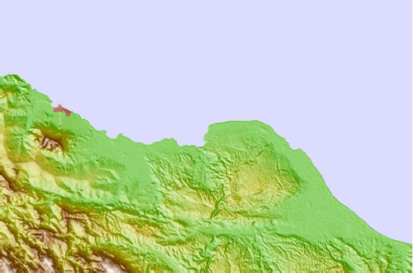
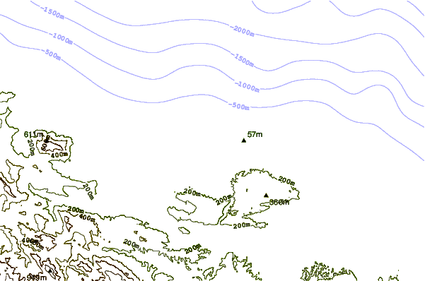
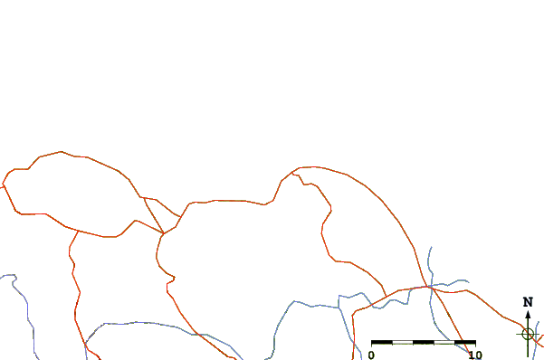
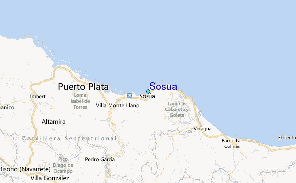
Use this relief map to navigate to tide stations, surf breaks and cities that are in the area of Sosua.
Other Nearby Locations' tide tables and tide charts to Sosua:
click location name for more details
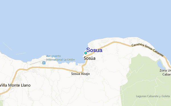
 Surf breaks close to Sosua:
|
||
|---|---|---|
| Closest surf break | El Canal | 0 mi |
| Second closest surf break | Encuentro | 0 mi |
| Third closest surf break | La Bahia | 1 mi |
| Fourth closest surf break | La Boca | 1 mi |
| Fifth closest surf break | Sosua Bay | 1 mi |

 Nearest
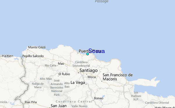