
| Distance / Altitude | Location | Report Date / Time | Live Weather | Wind | Gusts | Temp. | Visibility | Cloud |
|---|---|---|---|---|---|---|---|---|
| 279 km ENE / 506 m | Adak Naval Air Station Airport (Alaska) | 2024-04-29 14:56 local (2024/04/29 23:56 GMT) | Dry and cloudy | fresh winds from the SE (30 km/h at 140) | 4°C | 13 | overcast | |
| 280 km ENE / 3 m | BUOY-ADKA2 (Marine) | 2024-04-29 16:00 local (2024/04/30 01:00 GMT) | moderate winds from the SE (26 km/h at 130) | — | - | |||
| 293 km SE / 15 m | SHIP8400 (Marine) | 2024-04-29 14:00 local (2024/04/29 23:00 GMT) | - (- km/h at -) | — | - km | |||
| 294 km SE / 15 m | SHIP8833 (Marine) | 2024-04-29 14:00 local (2024/04/29 23:00 GMT) | - (- km/h at -) | — | - km | |||
| 294 km SE / 15 m | SHIP11049 (Marine) | 2024-04-29 14:00 local (2024/04/29 23:00 GMT) | - (- km/h at -) | — | - km |
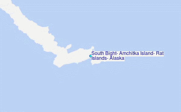
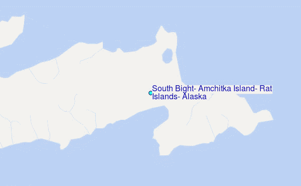
Choose South Bight, Amchitka Island, Rat Islands, Alaska Location Map Zoom:
| Contours: | Roads & Rivers: | Select a
tide station / surf break / city |

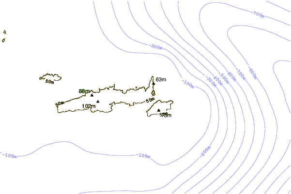
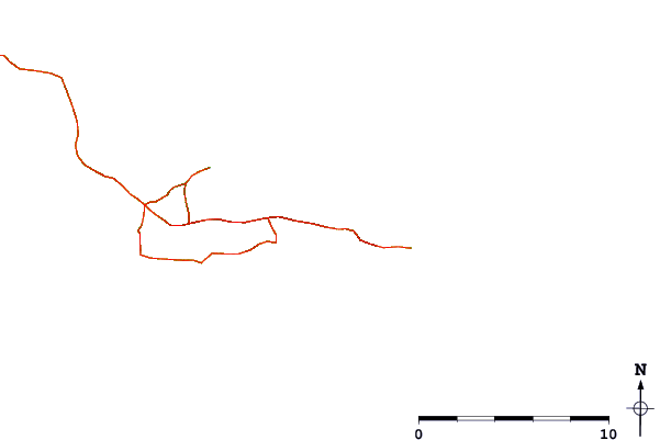
Use this relief map to navigate to tide stations, surf breaks and cities that are in the area of South Bight, Amchitka Island, Rat Islands, Alaska.
Other Nearby Locations' tide tables and tide charts to South Bight, Amchitka Island, Rat Islands, Alaska:
click location name for more details
 Surf breaks close to South Bight, Amchitka Island, Rat Islands, Alaska:
|
||
|---|---|---|
| Closest surf break | Khalaktyrsky Beach | 874 mi |
| Second closest surf break | Fossil Beach Kodiak | 1201 mi |
| Third closest surf break | Monashka Bay | 1203 mi |
| Fourth closest surf break | Termination Point | 1204 mi |
| Fifth closest surf break | Mill Bay | 1206 mi |

 Nearest
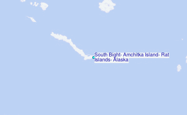