
| Distance / Altitude | Location | Report Date / Time | Live Weather | Wind | Gusts | Temp. | Visibility | Cloud |
|---|---|---|---|---|---|---|---|---|
| 10 km S / 216 m | Westhampton Beach/Francis S. Gabreski Airport (New York) | 2024-04-27 09:53 local (2024/04/27 13:53 GMT) | Clear | light winds from the N (7 km/h at 1) | 12°C | 16 | ||
| 28 km SW / 217 m | Shirley Airport (New York) | 2024-04-27 09:56 local (2024/04/27 13:56 GMT) | Clear | light winds from the S (15 km/h at 180) | 12°C | 16 | ||
| 38 km SSW / 12 m | Shirley (New York) | 2024-04-27 11:24 local (2024/04/27 15:24 GMT) | - | calm (0 km/h at 0) | 0°C | - | - - 0 | |
| 44 km NW / 218 m | New Haven/Tweed Airport (Connecticut) | 2024-04-27 09:53 local (2024/04/27 13:53 GMT) | Dry and partly cloudy | light winds from the SSW (9 km/h at 210) | 12°C | 16 | scattered | |
| 47 km WNW / 3 m | BUOY-NWHC3 (Marine) | 2024-04-27 11:00 local (2024/04/27 15:00 GMT) | light winds from the S (11 km/h at 190) | 10°C | - |
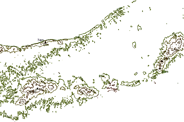
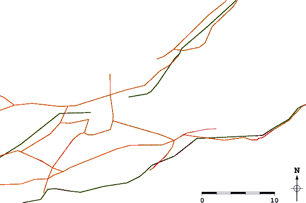
| Contours: | Roads & Rivers: | Select a
tide station / surf break / city |
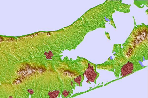
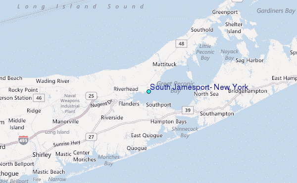
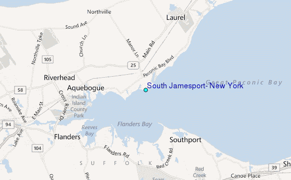
Use this relief map to navigate to tide stations, surf breaks and cities that are in the area of South Jamesport, New York.
Other Nearby Locations' tide tables and tide charts to South Jamesport, New York:
click location name for more details
 Surf breaks close to South Jamesport, New York:
|
||
|---|---|---|
| Closest surf break | Ponquogue The Bowl | 8 mi |
| Second closest surf break | Road K | 8 mi |
| Third closest surf break | Flies | 9 mi |
| Fourth closest surf break | Outside Ponquogue | 9 mi |
| Fifth closest surf break | Jetty | 11 mi |

 Nearest
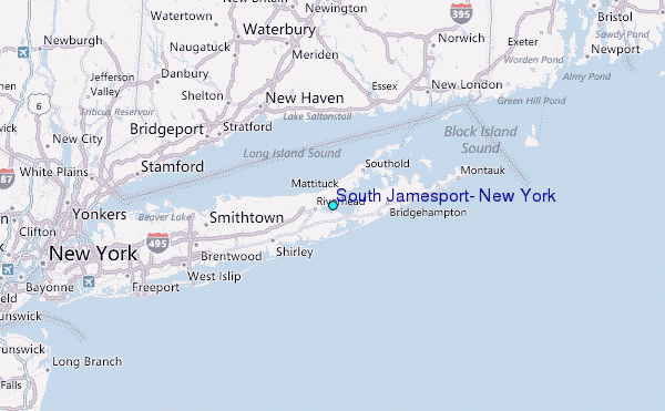