
| Distance / Altitude | Location | Report Date / Time | Live Weather | Wind | Gusts | Temp. | Visibility | Cloud |
|---|---|---|---|---|---|---|---|---|
| 20 km S / 3 m | BUOY-SAXG1 (Marine) | 2024-04-27 19:00 local (2024/04/27 23:00 GMT) | light winds from the E (13 km/h at 100) | 23°C | - | |||
| 34 km SE / - m | SHIP10151 (ocean) | 2024-04-27 19:00 local (2024/04/27 23:00 GMT) | - | moderate winds from the ESE (25 km/h at 110) | 22°C | - | no observation | |
| 34 km SE / - m | SHIP5960 (ocean) | 2024-04-27 19:00 local (2024/04/27 23:00 GMT) | - | moderate winds from the ESE (25 km/h at 110) | 22°C | - | no observation | |
| 34 km SE / - m | SHIP8619 (ocean) | 2024-04-27 19:00 local (2024/04/27 23:00 GMT) | - | moderate winds from the ESE (25 km/h at 110) | 22°C | - | no observation | |
| 34 km SE / - m | SHIP9156 (ocean) | 2024-04-27 19:00 local (2024/04/27 23:00 GMT) | - | fresh winds from the ESE (29 km/h at 110) | 22°C | - | no observation |
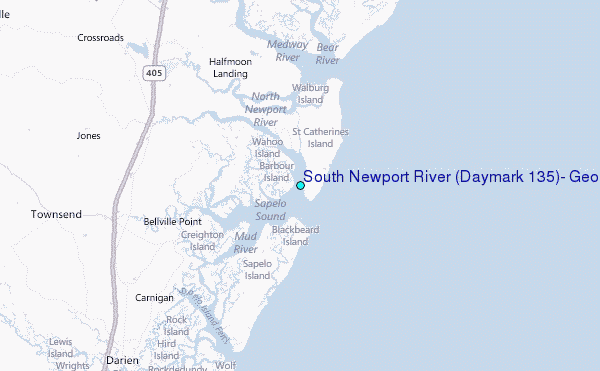
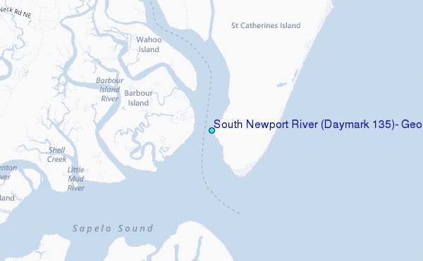
Choose South Newport River (Daymark #135), Georgia Location Map Zoom:
| Contours: | Roads & Rivers: | Select a
tide station / surf break / city |
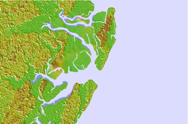

Use this relief map to navigate to tide stations, surf breaks and cities that are in the area of South Newport River (Daymark #135), Georgia.
Other Nearby Locations' tide tables and tide charts to South Newport River (Daymark #135), Georgia:
click location name for more details
 Surf breaks close to South Newport River (Daymark #135), Georgia:
|
||
|---|---|---|
| Closest surf break | Sea Island | 29 mi |
| Second closest surf break | Goulds Inlet | 30 mi |
| Third closest surf break | St Simons Island | 32 mi |
| Fourth closest surf break | Coastguard/St Simons | 32 mi |
| Fifth closest surf break | 17th Street Boardwalk | 35 mi |

 Nearest
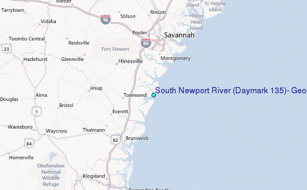