
| Distance / Altitude | Location | Report Date / Time | Live Weather | Wind | Gusts | Temp. | Visibility | Cloud |
|---|---|---|---|---|---|---|---|---|
| 30 km ENE / 31 m | Parrsboro- NS (Canada) | 2024-04-28 15:00 local (2024/04/28 18:00 GMT) | no report | light winds from the WSW (18 km/h at 250) | 13°C | - | - | |
| 33 km WNW / 43 m | Fundy Park (Alma) Cs- NB (Canada) | 2024-04-28 16:00 local (2024/04/28 19:00 GMT) | no report | light winds from the S (11 km/h at 180) | 14°C | - | - | |
| 36 km SSE / 204 m | Kentville Airport (Nova Scotia) | 2024-04-28 16:00 local (2024/04/28 19:00 GMT) | no report | light winds from the WNW (11 km/h at 290) | 16°C | 0.0 | - - - | |
| 37 km SSE / 49 m | Kentville (Canada) | 2024-04-28 16:00 local (2024/04/28 19:00 GMT) | no report | light winds from the WNW (11 km/h at 290) | 16°C | - | - | |
| 39 km E / 82 m | Two Islands wx (Canada) | 2024-04-28 16:24 local (2024/04/28 19:24 GMT) | - | moderate winds from the SW (26 km/h at 223) | 11°C | - | - - 0 |
| Contours: | Roads & Rivers: | Select a
tide station / surf break / city |
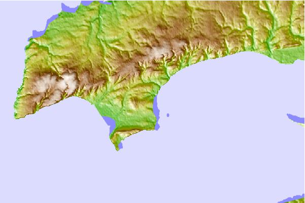
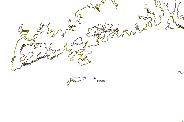
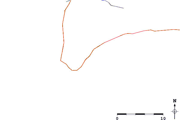
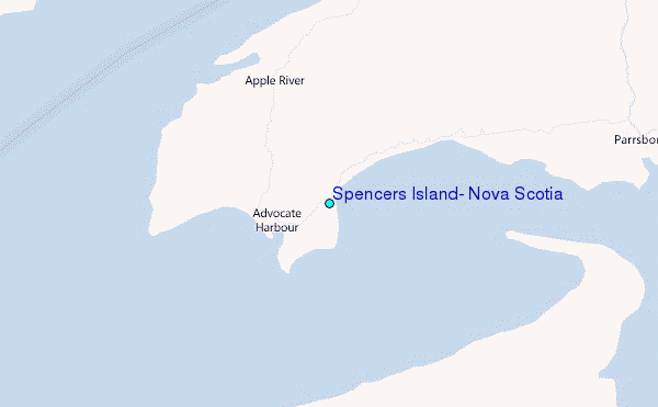
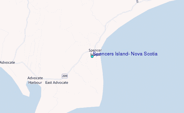
Use this relief map to navigate to tide stations, surf breaks and cities that are in the area of Spencers Island, Nova Scotia.
Other Nearby Locations' tide tables and tide charts to Spencers Island, Nova Scotia:
click location name for more details
 Surf breaks close to Spencers Island, Nova Scotia:
|
||
|---|---|---|
| Closest surf break | Hirtle's Beach (Hartling Bay) | 78 mi |
| Second closest surf break | Backyards | 81 mi |
| Third closest surf break | Cow Bay | 81 mi |
| Fourth closest surf break | Minutes | 81 mi |
| Fifth closest surf break | Moose | 81 mi |

 Nearest
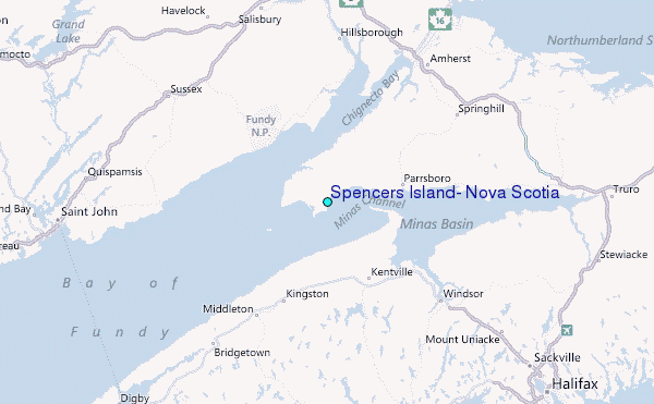