
| Distance / Altitude | Location | Report Date / Time | Live Weather | Wind | Gusts | Temp. | Visibility | Cloud |
|---|---|---|---|---|---|---|---|---|
| 20 km SW / 15 m | Halifax (Canada) | 2024-04-27 16:03 local (2024/04/27 19:03 GMT) | dry | wind obs. (8 kph from 283 degs) was rejected (- km/h at -) | 7°C | - | - - 0 | |
| 22 km E / 16 m | Beaver Island (Aut)- NS (Canada) | 2024-04-27 18:00 local (2024/04/27 21:00 GMT) | no report | light winds from the SW (17 km/h at 220) | 5°C | - | - no observation - | |
| 24 km E / 217 m | Beaver Island Airport (Nova Scotia) | 2024-04-27 17:00 local (2024/04/27 20:00 GMT) | - | light winds from the SW (15 km/h at 220) | 6°C | 0.0 | ||
| 51 km ENE / 12 m | Spanish Ship Bay (Canada) | 2024-04-27 17:48 local (2024/04/27 20:48 GMT) | dry | light winds from the NNE (11 km/h at 32) | 8°C | - | - - 0 | |
| 56 km WNW / 24 m | Upper Stewiacke (Canada) | 2024-04-27 18:00 local (2024/04/27 21:00 GMT) | - | light winds from the N (19 km/h at 10) | 9°C | - | no observation |
| Contours: | Roads & Rivers: | Select a
tide station / surf break / city |
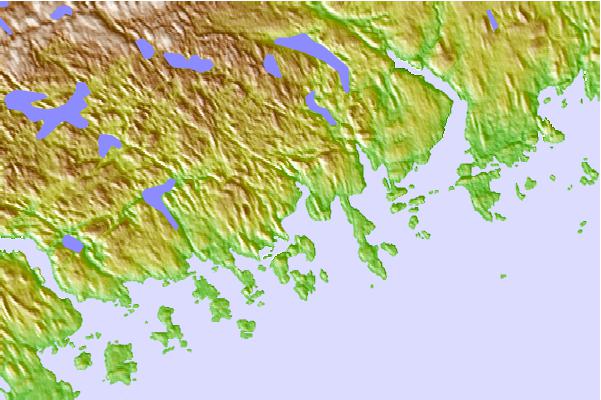
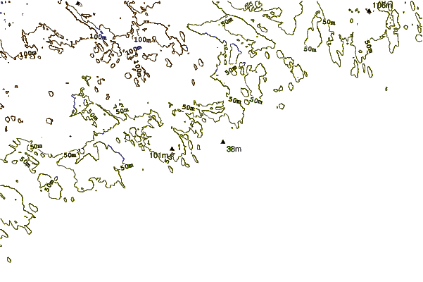
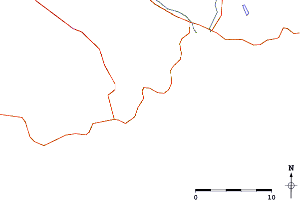
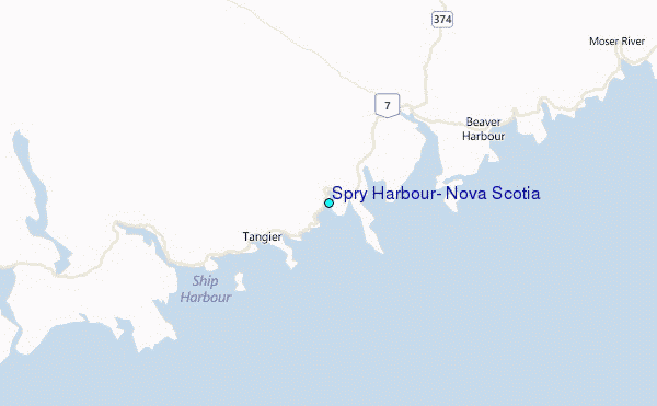
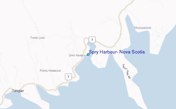
Use this relief map to navigate to tide stations, surf breaks and cities that are in the area of Spry Harbour, Nova Scotia.
Other Nearby Locations' tide tables and tide charts to Spry Harbour, Nova Scotia:
click location name for more details
 Surf breaks close to Spry Harbour, Nova Scotia:
|
||
|---|---|---|
| Closest surf break | Martinique | 29 mi |
| Second closest surf break | Lawrencetown Left Point | 37 mi |
| Third closest surf break | Lawrencetown Reef | 38 mi |
| Fourth closest surf break | Lawrencetown Right Point | 39 mi |
| Fifth closest surf break | Backyards | 42 mi |

 Nearest
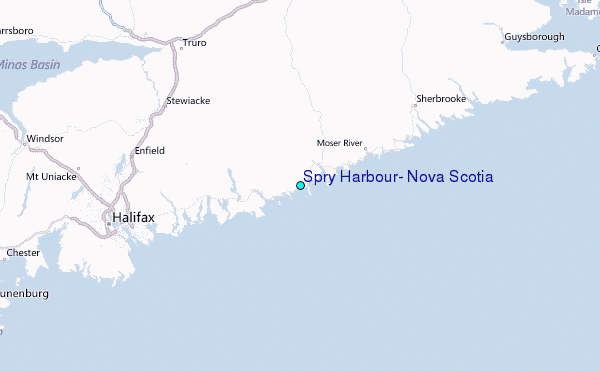