
| Distance / Altitude | Location | Report Date / Time | Live Weather | Wind | Gusts | Temp. | Visibility | Cloud |
|---|---|---|---|---|---|---|---|---|
| 107 km N / 5 m | Ahmad Yani International Airport (Indonesia) | 2024-05-02 20:30 local (2024/05/02 13:30 GMT) | Dry and partly cloudy | calm (4 km/h at 230) | 30°C | 6.0 | few scattered | |
| 286 km ENE / 2 m | Juanda Airport (Indonesia) | 2024-05-02 20:30 local (2024/05/02 13:30 GMT) | - | light winds from the ESE (11 km/h at 120) | 29°C | 8.0 | few | |
| 308 km W / 913 m | Cileuweung Dua wx (Indonesia) | 2024-05-02 20:34 local (2024/05/02 13:34 GMT) | - | calm (3 km/h at 29) | 24°C | - | - - 0 | |
| 312 km W / 841 m | Cibeunying wx (Indonesia) | 2024-05-02 20:44 local (2024/05/02 13:44 GMT) | - | calm (3 km/h at 29) | 24°C | - | - - 0 | |
| 317 km W / 796 m | Srigunting wx (Indonesia) | 2024-05-02 20:01 local (2024/05/02 13:01 GMT) | - | light winds from the NNE (6 km/h at 29) | 24°C | - | - - 0 |
| Contours: | Roads & Rivers: | Select a
tide station / surf break / city |
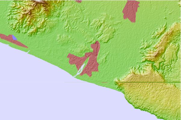
Use this relief map to navigate to tide stations, surf breaks and cities that are in the area of Srandakan.
Other Nearby Locations' tide tables and tide charts to Srandakan:
click location name for more details
 Surf breaks close to Srandakan:
|
||
|---|---|---|
| Closest surf break | Karang Nini | 107 mi |
| Second closest surf break | Batu Mandi | 110 mi |
| Third closest surf break | Batu Hiu | 119 mi |
| Fourth closest surf break | Batu Karas | 121 mi |
| Fifth closest surf break | Keusik Luhur | 122 mi |

 Nearest