
| Distance / Altitude | Location | Report Date / Time | Live Weather | Wind | Gusts | Temp. | Visibility | Cloud |
|---|---|---|---|---|---|---|---|---|
| 7 km SE / 3 m | SHIP10460 (Marine) | 2024-04-28 01:00 local (2024/04/28 05:00 GMT) | light winds from the N (13 km/h at 360) | 11°C | - | |||
| 10 km SW / 1 m | Baie-Saint-Paul (Canada) | 2024-04-28 00:25 local (2024/04/28 04:25 GMT) | dry | calm (0 km/h at 10) | 8°C | - | - - 0 | |
| 27 km ESE / 31 m | LA Pocatiere- Que (Canada) | 2024-04-27 23:00 local (2024/04/28 03:00 GMT) | no report | moderate winds from the SSE (20 km/h at 150) | 13°C | - | - no observation - | |
| 27 km SSW / 723 m | Charlevoix(Mrc)-Que (Canada) | 2024-04-28 00:00 local (2024/04/28 04:00 GMT) | no report | light winds from the S (7 km/h at 190) | 6°C | - | - no observation - | |
| 27 km SSW / 637 m | Charlevoix Airport (Quebec) | 2024-04-28 00:00 local (2024/04/28 04:00 GMT) | - | light winds from the S (7 km/h at 190) | 6°C | 0.0 | - - - |
| Contours: | Roads & Rivers: | Select a
tide station / surf break / city |
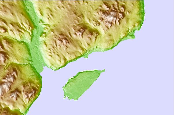
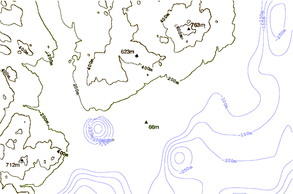
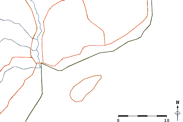
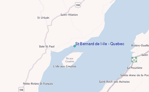
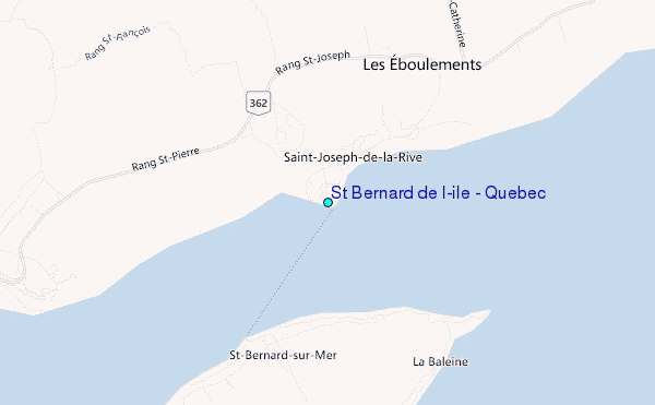
Use this relief map to navigate to tide stations, surf breaks and cities that are in the area of St Bernard de l'ile , Quebec.
Other Nearby Locations' tide tables and tide charts to St Bernard de l'ile , Quebec:
click location name for more details
 Surf breaks close to St Bernard de l'ile , Quebec:
|
||
|---|---|---|
| Closest surf break | Trayhan's | 257 mi |
| Second closest surf break | Popham Read | 259 mi |
| Third closest surf break | Doc Browns | 268 mi |
| Fourth closest surf break | Higgins Beach | 269 mi |
| Fifth closest surf break | Two Lights | 269 mi |

 Nearest
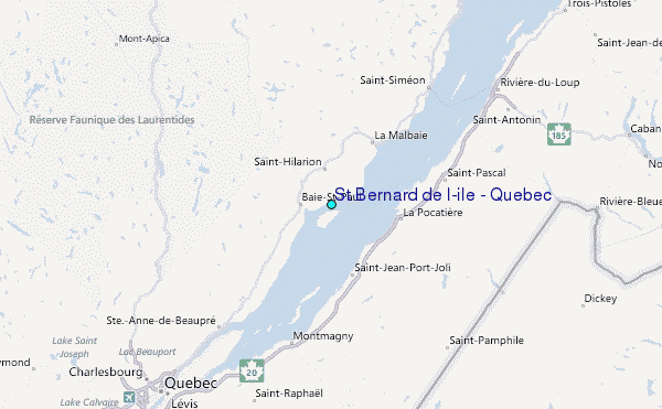