
| Distance / Altitude | Location | Report Date / Time | Live Weather | Wind | Gusts | Temp. | Visibility | Cloud |
|---|---|---|---|---|---|---|---|---|
| 11 km S / 3 m | Penzance Waverider (Marine) | 2024-05-05 06:31 local (2024/05/05 05:31 GMT) | - (- km/h at -) | — | - | |||
| 14 km E / 240 m | Camborne (United Kingdom) | 2024-05-05 08:00 local (2024/05/05 07:00 GMT) | Snow | light winds from the SSE (11 km/h at 150) | 12°C | 55 km | mostly cloudy | |
| 21 km SE / 3 m | Porthleven Waverider (Marine) | 2024-05-05 06:50 local (2024/05/05 05:50 GMT) | - (- km/h at -) | — | - | |||
| 21 km SE / 76 m | Culdrose Airport (United Kingdom) | 2024-05-05 08:00 local (2024/05/05 07:00 GMT) | Snow | light winds from the S (9 km/h at 180) | 11°C | 42 km | - overcast - | |
| 23 km SE / 210 m | Culdrose Airport (United Kingdom) | 2024-05-05 07:20 local (2024/05/05 06:20 GMT) | Light rain | light winds from the SE (7 km/h at 140) | 11°C | 10.0 | overcast |
| Contours: | Roads & Rivers: | Select a
tide station / surf break / city |
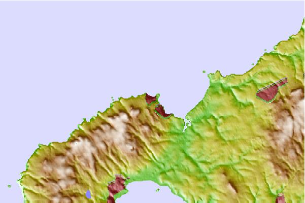
Use this relief map to navigate to tide stations, surf breaks and cities that are in the area of St Ives.
Other Nearby Locations' tide tables and tide charts to St Ives:
click location name for more details
 Surf breaks close to St Ives:
|
||
|---|---|---|
| Closest surf break | Hawkes Point | 1 mi |
| Second closest surf break | Porthmeor | 1 mi |
| Third closest surf break | St Ives Harbour Wall | 1 mi |
| Fourth closest surf break | The Breakwater-St Ives | 1 mi |
| Fifth closest surf break | Carbis Bay | 1 mi |

 Nearest