
| Distance / Altitude | Location | Report Date / Time | Live Weather | Wind | Gusts | Temp. | Visibility | Cloud |
|---|---|---|---|---|---|---|---|---|
| 16 km SW / 1 m | Ucluelet wx (Canada) | 2024-05-01 14:11 local (2024/05/01 21:11 GMT) | dry | calm (2 km/h at 108) | 11°C | - | - - 0 | |
| 31 km W / 326 m | Tofino Airport (British Columbia) | 2024-05-01 13:00 local (2024/05/01 20:00 GMT) | Dry and cloudy | light winds from the S.(Wind varies from 120 to 240 degs) (6 km/h at 180) | 9°C | 24 | scattered overcast - | |
| 45 km NE / 89 m | Kleecoot wx (Canada) | 2024-05-01 14:37 local (2024/05/01 21:37 GMT) | dry | calm (5 km/h at 274) | 16°C | - | - - 0 | |
| 46 km NE / 76 m | Port Alberni (Aut)- BC (Canada) | 2024-05-01 14:00 local (2024/05/01 21:00 GMT) | no report | light winds from the SW (9 km/h at 230) | 14°C | - | - no observation - | |
| 48 km NE / 29 m | Port Alberni (British Columbia) | 2024-05-01 13:49 local (2024/05/01 20:49 GMT) | dry | light winds from the SW (11 km/h at 225) | 17°C | - | - - 0 |
| Contours: | Roads & Rivers: | Select a
tide station / surf break / city |
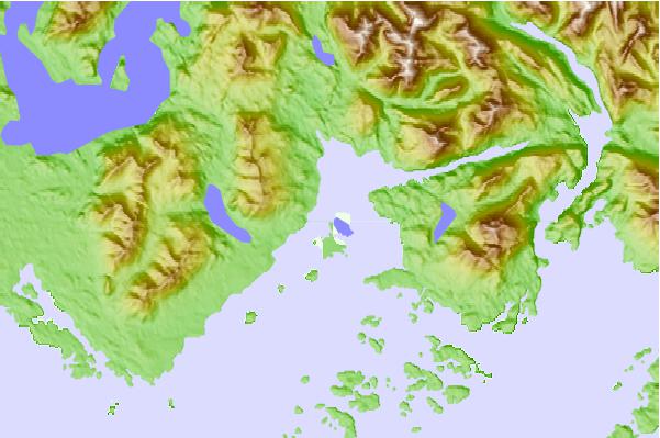
Use this relief map to navigate to tide stations, surf breaks and cities that are in the area of Stopper Islands, British Columbia.
Other Nearby Locations' tide tables and tide charts to Stopper Islands, British Columbia:
click location name for more details
 Surf breaks close to Stopper Islands, British Columbia:
|
||
|---|---|---|
| Closest surf break | Florencia Bay | 13 mi |
| Second closest surf break | Wickaninnish | 15 mi |
| Third closest surf break | Long Beach (Tofino Airport) | 19 mi |
| Fourth closest surf break | Cox Bay | 25 mi |
| Fifth closest surf break | South Chesterman Beach | 25 mi |

 Nearest