
| Distance / Altitude | Location | Report Date / Time | Live Weather | Wind | Gusts | Temp. | Visibility | Cloud |
|---|---|---|---|---|---|---|---|---|
| 8 km S / 3 m | BUOY-TESL1 (Marine) | 2024-04-28 01:48 local (2024/04/28 06:48 GMT) | moderate winds from the ESE (21 km/h at 110) | 23°C | - | |||
| 9 km SW / 209 m | Patterson Williams Memorial Airport (Louisiana) | 2024-04-28 01:38 local (2024/04/28 06:38 GMT) | Dry and partly cloudy | light winds from the ESE (19 km/h at 120) | 23°C | 16 | broken | |
| 34 km S / 3 m | BUOY-AMRL1 (Marine) | 2024-04-28 01:48 local (2024/04/28 06:48 GMT) | light winds from the ESE (11 km/h at 110) | — | - | |||
| 35 km SW / 219 m | Salt Point (Louisiana) | 2024-04-28 00:59 local (2024/04/28 05:59 GMT) | - | light winds from the ESE (15 km/h at 120) | 23°C | 0.0 | ||
| 40 km E / 3.4 m | Thibodaux (Louisiana) | 2024-04-28 01:25 local (2024/04/28 06:25 GMT) | dry | light winds from the SSE (13 km/h at 153) | 22°C | - | - - 0 |
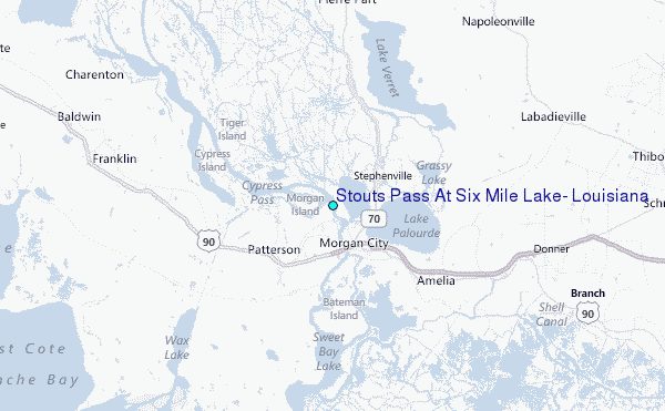
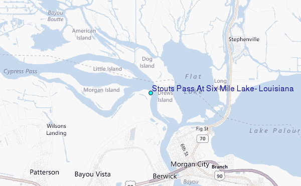
Choose Stouts Pass At Six Mile Lake, Louisiana Location Map Zoom:
| Contours: | Roads & Rivers: | Select a
tide station / surf break / city |
Use this relief map to navigate to tide stations, surf breaks and cities that are in the area of Stouts Pass At Six Mile Lake, Louisiana.
Other Nearby Locations' tide tables and tide charts to Stouts Pass At Six Mile Lake, Louisiana:
click location name for more details
 Surf breaks close to Stouts Pass At Six Mile Lake, Louisiana:
|
||
|---|---|---|
| Closest surf break | Holly Beach | 134 mi |
| Second closest surf break | Chandeleur Islands | 144 mi |
| Third closest surf break | Dauphin Island Pier | 192 mi |
| Fourth closest surf break | Bolivar | 195 mi |
| Fifth closest surf break | Meacom Pier | 212 mi |

 Nearest
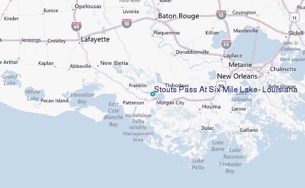