
| Distance / Altitude | Location | Report Date / Time | Live Weather | Wind | Gusts | Temp. | Visibility | Cloud |
|---|---|---|---|---|---|---|---|---|
| 29 km WNW / 210 m | Tapachula Airport (Mexico) | 2024-05-04 16:40 local (2024/05/04 21:40 GMT) | - | light winds from the WSW (19 km/h at 250) | 34°C | 13 | few | |
| 38 km NW / 118 m | Tapachula-Chis (Mexico) | 2024-05-04 17:00 local (2024/05/04 22:00 GMT) | State of sky unchanged | light winds from the W (14 km/h at 260) | 33°C | 50 km | scattered | |
| 56 km E / 367 m | Retalhuleu Airport/ (Guatemala) | 2024-05-04 16:00 local (2024/05/04 21:00 GMT) | Dry and partly cloudy | light winds from the WSW (15 km/h at 250) | 35°C | 8.0 | scattered | |
| 63 km E / 705 m | Comunidad Nueva Alianza wx (Guatemala) | 2024-05-04 17:30 local (2024/05/04 22:30 GMT) | dry | calm (0 km/h at 0) | 29°C | - | - - 0 | |
| 64 km ENE / 950 m | Guatemala (Guatemala) | 2024-05-04 17:33 local (2024/05/04 22:33 GMT) | dry | calm (2 km/h at 83) | 28°C | - | - - 0 |
| Contours: | Roads & Rivers: | Select a
tide station / surf break / city |
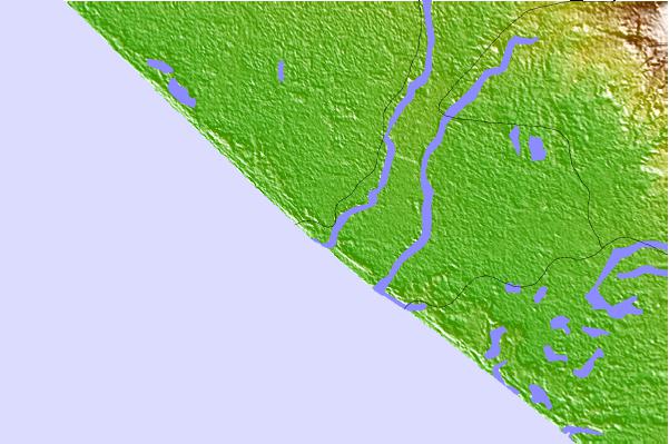
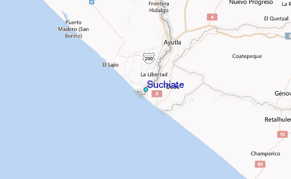
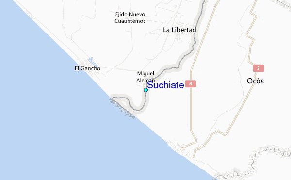
Use this relief map to navigate to tide stations, surf breaks and cities that are in the area of Suchiate.
Other Nearby Locations' tide tables and tide charts to Suchiate:
click location name for more details
 Surf breaks close to Suchiate:
|
||
|---|---|---|
| Closest surf break | Ocos | 2 mi |
| Second closest surf break | Tilapa | 2 mi |
| Third closest surf break | Champerico | 17 mi |
| Fourth closest surf break | Tulate | 36 mi |
| Fifth closest surf break | Puerto Madero | 50 mi |

 Nearest
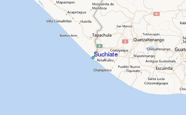