
| Distance / Altitude | Location | Report Date / Time | Live Weather | Wind | Gusts | Temp. | Visibility | Cloud |
|---|---|---|---|---|---|---|---|---|
| 109 km SSW / 2 m | Jati wx (Indonesia) | 2024-05-01 15:32 local (2024/05/01 08:32 GMT) | - | - (- km/h at ) | — | - | - - 0 | |
| 126 km SW / 2 m | Juanda Airport (Indonesia) | 2024-05-01 14:30 local (2024/05/01 07:30 GMT) | - | moderate winds from the ENE (20 km/h at 70) | 32°C | 10.0 | few | |
| 239 km SE / 216 m | Bali International Airport (Indonesia) | 2024-05-01 14:30 local (2024/05/01 07:30 GMT) | - | fresh winds from the SE (30 km/h at 130) | 30°C | 10.0 | few | |
| 329 km SE / 97 m | Bandara Airport (Indonesia) | 2024-05-01 14:30 local (2024/05/01 07:30 GMT) | Dry and partly cloudy | light winds from the SE (9 km/h at 130) | 31°C | 9.0 | scattered | |
| 385 km WSW / 5 m | Ahmad Yani International Airport (Indonesia) | 2024-05-01 14:30 local (2024/05/01 07:30 GMT) | Dry and partly cloudy | light winds from the E (19 km/h at 100) | 34°C | 9.0 | scattered |
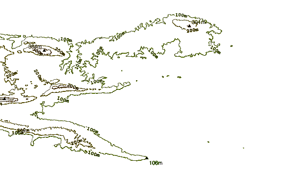
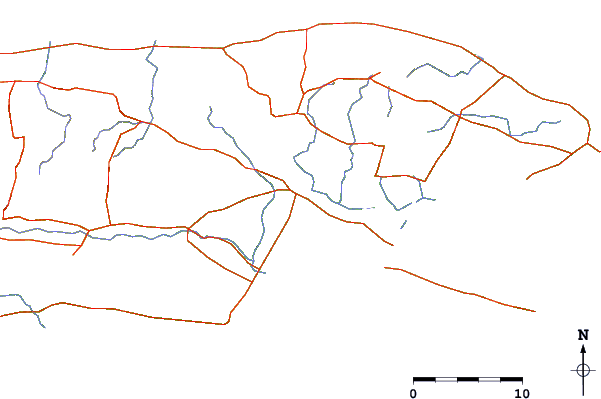
| Contours: | Roads & Rivers: | Select a
tide station / surf break / city |
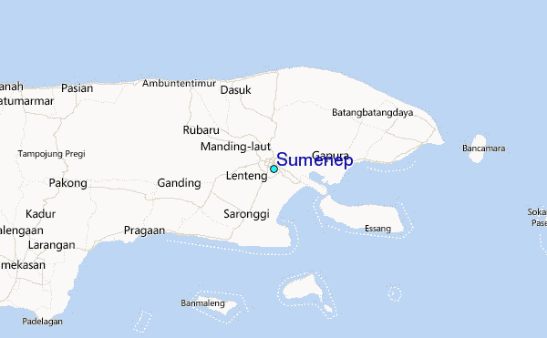
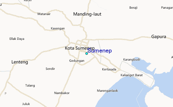
Use this relief map to navigate to tide stations, surf breaks and cities that are in the area of Sumenep.
Other Nearby Locations' tide tables and tide charts to Sumenep:
click location name for more details
 Surf breaks close to Sumenep:
|
||
|---|---|---|
| Closest surf break | Medewi | 117 mi |
| Second closest surf break | Tanjung Kucur | 119 mi |
| Third closest surf break | Grajagan Bay/G-Land | 122 mi |
| Fourth closest surf break | Balian | 127 mi |
| Fifth closest surf break | Pererenan | 143 mi |

 Nearest
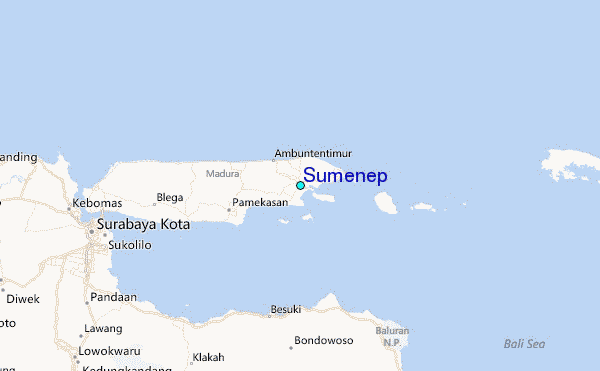