
| Distance / Altitude | Location | Report Date / Time | Live Weather | Wind | Gusts | Temp. | Visibility | Cloud |
|---|---|---|---|---|---|---|---|---|
| 35 km S / 33 m | PangkalPinang (Indonesia) | 2024-04-28 04:00 local (2024/04/27 21:00 GMT) | Light to moderate thunderstorm | light winds from the SSW (6 km/h at 200) | 27°C | 4.0 km | overcast | |
| 196 km SSW / 353 m | Palembang/Sultan Mahmud Badaruddin II Airport (Indonesia) | 2024-04-28 05:30 local (2024/04/27 22:30 GMT) | - | calm (4 km/h at 1) | 26°C | 10.0 | few | |
| 197 km SSW / 10 m | PalembangSt.M.Badarudin II (Indonesia) | 2024-04-28 04:00 local (2024/04/27 21:00 GMT) | Mist | light winds from the SSW (6 km/h at 200) | 26°C | 3.5 km | - mostly cloudy - | |
| 206 km ESE / 44 m | Tanjung Pandan/Buluh Tumbang (Indonesia) | 2024-04-28 04:00 local (2024/04/27 21:00 GMT) | Continuous light rain | light winds from the S (9 km/h at 180) | 26°C | 5.0 km | - overcast - | |
| 230 km WNW / 31 m | SingkepDabo (Indonesia) | 2024-04-28 04:00 local (2024/04/27 21:00 GMT) | - | wind obs. (7 kph from 270 degs) was rejected (- km/h at -) | 26°C | 27 km | mostly cloudy |
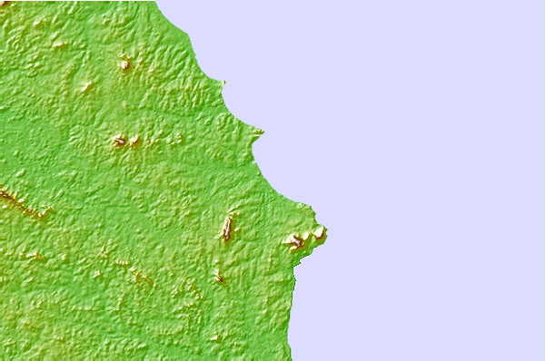
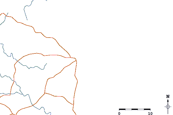
| Contours: | Roads & Rivers: | Select a
tide station / surf break / city |
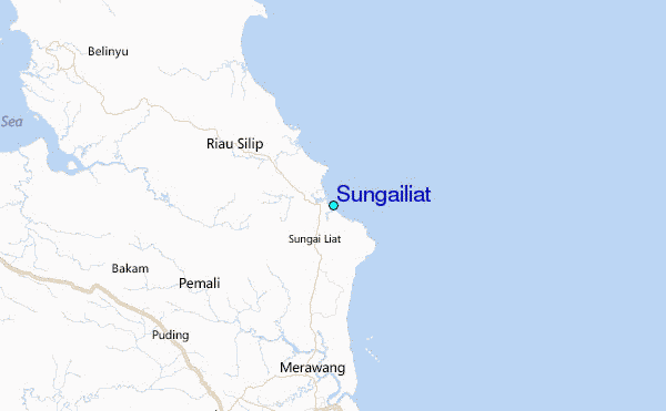
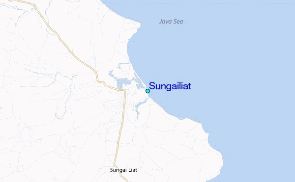
Use this relief map to navigate to tide stations, surf breaks and cities that are in the area of Sungailiat.
Other Nearby Locations' tide tables and tide charts to Sungailiat:
click location name for more details
 Surf breaks close to Sungailiat:
|
||
|---|---|---|
| Closest surf break | Jimmys | 275 mi |
| Second closest surf break | Krui | 277 mi |
| Third closest surf break | Pulau Pisang | 277 mi |
| Fourth closest surf break | Mandiri | 278 mi |
| Fifth closest surf break | Ujung Walur | 278 mi |

 Nearest
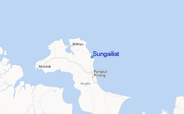