
| Distance / Altitude | Location | Report Date / Time | Live Weather | Wind | Gusts | Temp. | Visibility | Cloud |
|---|---|---|---|---|---|---|---|---|
| 149 km SSE / 3 m | SHIP11022 (Marine) | 2024-04-27 20:00 local (2024/04/28 01:00 GMT) | - (- km/h at -) | 20°C | - | |||
| 150 km SSE / 34 m | Lima Jorge Chávez International Airport (Peru) | 2024-04-27 22:00 local (2024/04/28 03:00 GMT) | State of sky unchanged | light winds from the S (15 km/h at 180) | 21°C | 30 km | - scattered - | |
| 165 km SSE / 361 m | La Molina wx (Peru) | 2024-04-27 21:32 local (2024/04/28 02:32 GMT) | - | calm (0 km/h at 71) | 22°C | - | - - 0 | |
| 183 km SSE / 24 m | Mamacona wx (Peru) | 2024-04-27 21:49 local (2024/04/28 02:49 GMT) | dry | calm (2 km/h at 190) | — | - | - - 0 | |
| 185 km SSE / 16 m | Mamacona wx (Peru) | 2024-04-27 21:49 local (2024/04/28 02:49 GMT) | - | calm (2 km/h at 190) | — | - | - - 0 |
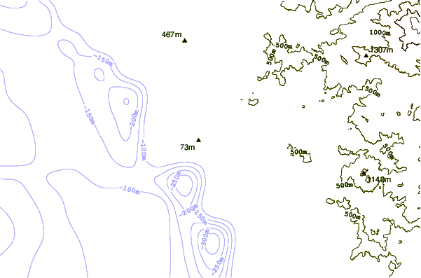
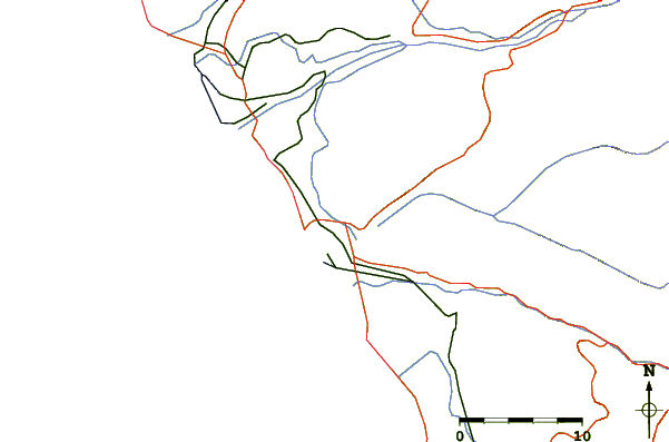
| Contours: | Roads & Rivers: | Select a
tide station / surf break / city |
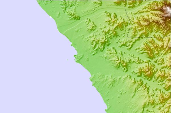
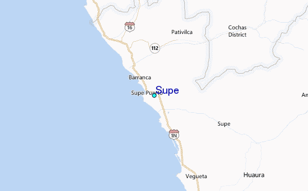
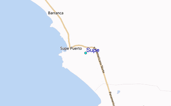
Use this relief map to navigate to tide stations, surf breaks and cities that are in the area of Supe.
Other Nearby Locations' tide tables and tide charts to Supe:
click location name for more details
 Surf breaks close to Supe:
|
||
|---|---|---|
| Closest surf break | Bermejo | 21 mi |
| Second closest surf break | Paraiso | 29 mi |
| Third closest surf break | Polvorin | 29 mi |
| Fourth closest surf break | Punta Gaviotas | 34 mi |
| Fifth closest surf break | Salinas | 34 mi |

 Nearest
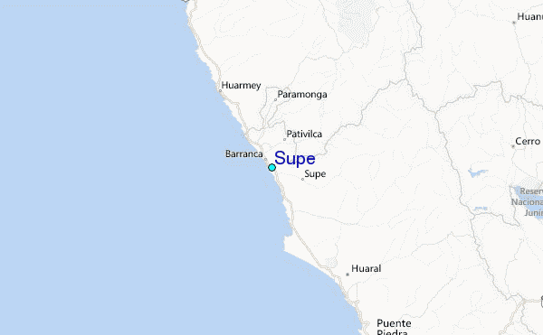