
| Distance / Altitude | Location | Report Date / Time | Live Weather | Wind | Gusts | Temp. | Visibility | Cloud |
|---|---|---|---|---|---|---|---|---|
| 69 km SW / 212 m | Chignik Bay Airport (Alaska) | 2024-04-27 03:36 local (2024/04/27 11:36 GMT) | - | light winds from the NNE.(Wind varies from 003 to 011 degs) (7 km/h at 30) | 1°C | 0.0 | ||
| 91 km W / 209 m | Port Heiden Airport (Alaska) | 2024-04-27 02:56 local (2024/04/27 10:56 GMT) | Clear | moderate winds from the NNE (24 km/h at 30) | 2°C | 16 | ||
| 192 km ENE / 3 m | BUOY-ALIA2 (Marine) | 2024-04-27 03:18 local (2024/04/27 11:18 GMT) | - (- km/h at -) | — | - | |||
| 197 km ENE / 14 m | Akhiok (Alaska) | 2024-04-27 03:25 local (2024/04/27 11:25 GMT) | Light rain | moderate winds from the E (24 km/h at 90) | 3°C | 16 | overcast | |
| 238 km SW / 3 m | BUOY-SNDA2 (Marine) | 2024-04-27 03:18 local (2024/04/27 11:18 GMT) | - (- km/h at -) | — | - |
| Contours: | Roads & Rivers: | Select a
tide station / surf break / city |
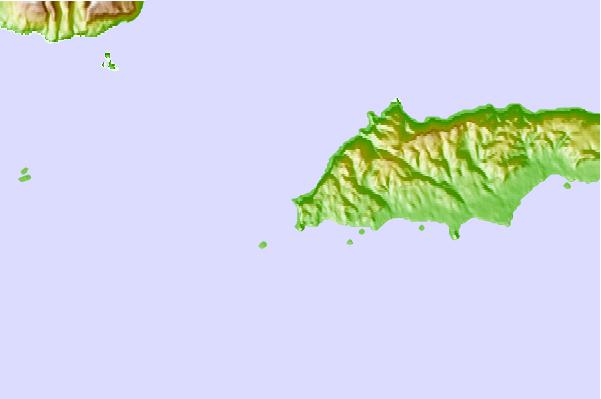
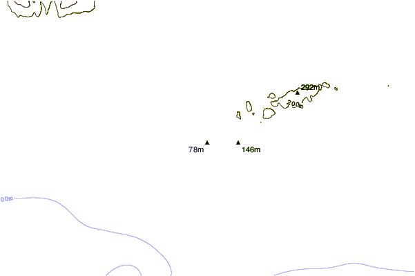

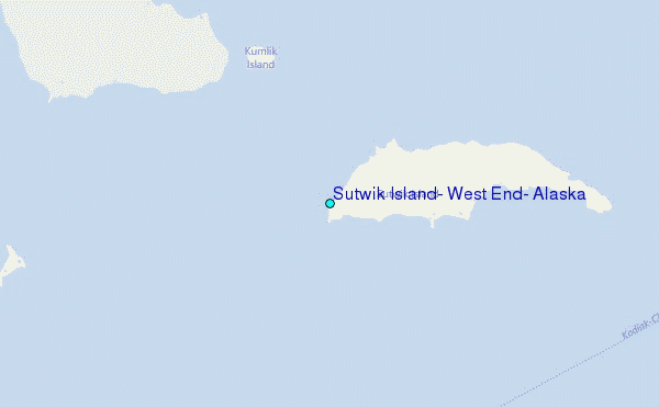
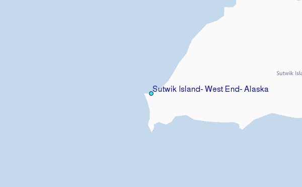
Use this relief map to navigate to tide stations, surf breaks and cities that are in the area of Sutwik Island, West End, Alaska.
Other Nearby Locations' tide tables and tide charts to Sutwik Island, West End, Alaska:
click location name for more details
 Surf breaks close to Sutwik Island, West End, Alaska:
|
||
|---|---|---|
| Closest surf break | Fossil Beach Kodiak | 197 mi |
| Second closest surf break | Monashka Bay | 204 mi |
| Third closest surf break | Termination Point | 206 mi |
| Fourth closest surf break | Mill Bay | 206 mi |
| Fifth closest surf break | Bird Point (Tidal Bore) | 359 mi |

 Nearest
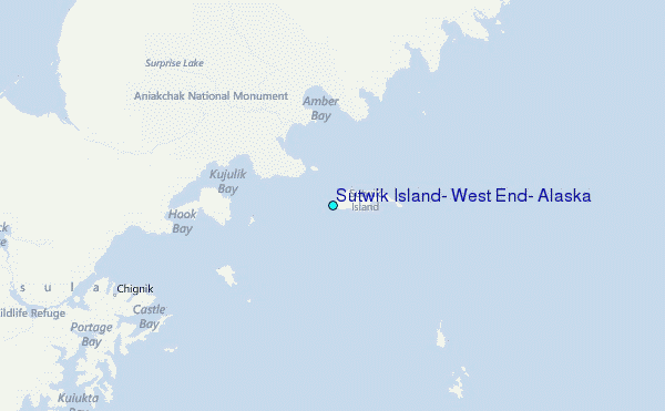