
| Distance / Altitude | Location | Report Date / Time | Live Weather | Wind | Gusts | Temp. | Visibility | Cloud |
|---|---|---|---|---|---|---|---|---|
| 387 km NE / 2 m | Manihiki Automatic Weather Station (Cook Islands) | 2024-04-28 20:00 local (2024/04/29 06:00 GMT) | no report | wind obs. (7 kph from 10 degs) was rejected (- km/h at -) | 28°C | - | - | |
| 387 km NE / 1 m | Manihiki (Cook Islands) | 2024-04-28 20:00 local (2024/04/29 06:00 GMT) | - | wind obs. (7 kph from 10 degs) was rejected (- km/h at -) | 28°C | - | no observation | |
| 391 km NE / 0 m | Manihiki Island Airport (Samoa/polynesia) | 2024-04-28 20:00 local (2024/04/29 06:00 GMT) | - | wind obs. (7 kph from 10 degs) was rejected (- km/h at -) | 28°C | |||
| 719 km SSE / 5 m | Aitutaki Automatic Weather Station (Cook Islands) | 2024-04-28 20:00 local (2024/04/29 06:00 GMT) | no report | fresh winds from the E (30 km/h at 100) | 26°C | - | - no observation - | |
| 724 km NE / 1 m | Penrhyn AWS (Cook Islands) | 2024-04-28 20:00 local (2024/04/29 06:00 GMT) | - | light winds from the E (19 km/h at 100) | 27°C | - | no observation |
| Contours: | Roads & Rivers: | Select a
tide station / surf break / city |
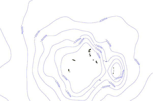
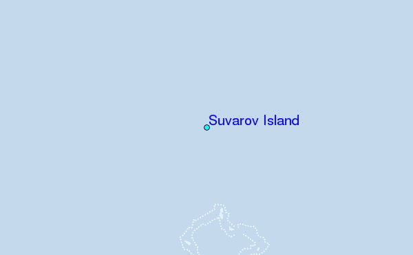
Use this relief map to navigate to tide stations, surf breaks and cities that are in the area of Suvarov Island.
Other Nearby Locations' tide tables and tide charts to Suvarov Island:
click location name for more details
 Surf breaks close to Suvarov Island:
|
||
|---|---|---|
| Closest surf break | Alao | 505 mi |
| Second closest surf break | Aunu'u Island | 505 mi |
| Third closest surf break | Tula | 505 mi |
| Fourth closest surf break | Amouli | 507 mi |
| Fifth closest surf break | Alofau Gas Station | 508 mi |

 Nearest