
| Distance / Altitude | Location | Report Date / Time | Live Weather | Wind | Gusts | Temp. | Visibility | Cloud |
|---|---|---|---|---|---|---|---|---|
| 16 km SSE / 240 m | Maizuru (Japan) | 2024-05-03 12:00 local (2024/05/03 03:00 GMT) | - | light winds from the WNW (9 km/h at 300) | 23°C | 40 km | no observation | |
| 39 km WSW / 4 m | Toyooka (Japan) | 2024-05-03 12:00 local (2024/05/03 03:00 GMT) | - | light winds from the ESE (6 km/h at 110) | 24°C | 40 km | no observation | |
| 40 km SW / 327 m | Tajima Airport (Japan) | 2024-05-03 11:00 local (2024/05/03 02:00 GMT) | - | light winds from the N (7 km/h at 1) | 21°C | 10.0 | few | |
| 58 km NW / 15 m | ASCATC135E36N (Marine) | 2024-05-03 10:11 local (2024/05/03 01:11 GMT) | light winds from the SSE (8 km/h at 153) | — | - km | |||
| 62 km NNE / 15 m | ASCATC136E36N (Marine) | 2024-05-03 10:11 local (2024/05/03 01:11 GMT) | light winds from the SSE (13 km/h at 163) | — | - km |
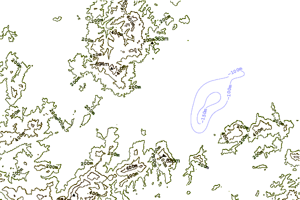
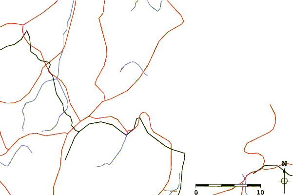
| Contours: | Roads & Rivers: | Select a
tide station / surf break / city |
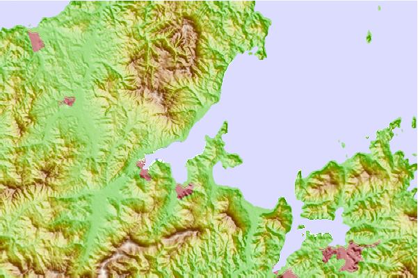
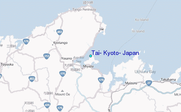
Use this relief map to navigate to tide stations, surf breaks and cities that are in the area of Tai, Kyoto, Japan.
Other Nearby Locations' tide tables and tide charts to Tai, Kyoto, Japan:
click location name for more details
 Surf breaks close to Tai, Kyoto, Japan:
|
||
|---|---|---|
| Closest surf break | Gomoda | 124 mi |
| Second closest surf break | Akabane Long Beach | 131 mi |
| Third closest surf break | Nunoshima | 131 mi |
| Fourth closest surf break | Tainohama | 133 mi |
| Fifth closest surf break | Hashikui Bay | 134 mi |

 Nearest
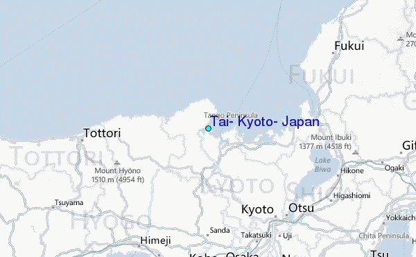