
| Distance / Altitude | Location | Report Date / Time | Live Weather | Wind | Gusts | Temp. | Visibility | Cloud |
|---|---|---|---|---|---|---|---|---|
| 6 km WNW / 195 m | Tamatave/Toamasina Airport (Comoros) | 2024-05-02 05:00 local (2024/05/02 02:00 GMT) | Dry and partly cloudy | calm (4 km/h at 320) | 22°C | 10.0 | few broken | |
| 220 km SW / 1388 m | Antananarivo/Ivato Airport (Comoros) | 2024-05-02 04:00 local (2024/05/02 01:00 GMT) | Dry and partly cloudy | light winds from the S (6 km/h at 180) | 17°C | 10.0 | few broken | |
| 428 km WNW / 194 m | Majunga/Mahajanga Airport (Comoros) | 2024-05-02 05:00 local (2024/05/02 02:00 GMT) | Dry and partly cloudy | light winds from the S.(Wind varies from 140 to 220 degs) (7 km/h at 180) | 27°C | 10.0 | few scattered | |
| 597 km ENE / 13 m | Serge -Frolow (Ile Tromelin) (France) | 2024-05-02 03:00 local (2024/05/02 00:00 GMT) | no report | fresh winds from the ESE (29 km/h at 120) | 27°C | - | - | |
| 691 km ESE / 0 m | Plage Trou d'eau (Reunion) | 2024-05-02 05:00 local (2024/05/02 02:00 GMT) | - | calm (0 km/h at 67) | 24°C | - | - - 0 |
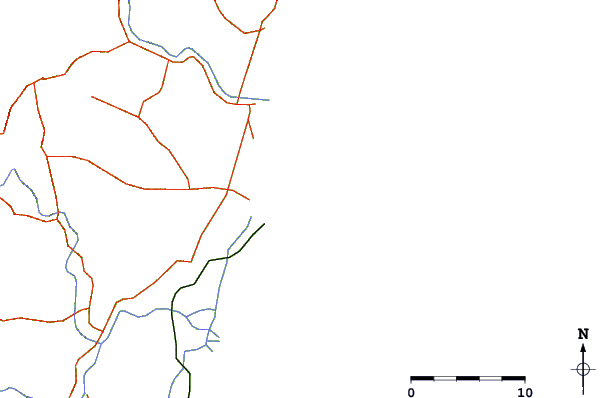
| Contours: | Roads & Rivers: | Select a
tide station / surf break / city |
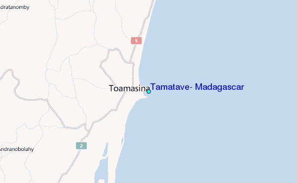
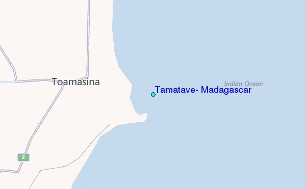
Use this relief map to navigate to tide stations, surf breaks and cities that are in the area of Tamatave, Madagascar.
Other Nearby Locations' tide tables and tide charts to Tamatave, Madagascar:
click location name for more details
 Surf breaks close to Tamatave, Madagascar:
|
||
|---|---|---|
| Closest surf break | Boucan Lefts | 426 mi |
| Second closest surf break | Boucan Rights | 426 mi |
| Third closest surf break | Cap Howard | 426 mi |
| Fourth closest surf break | Les Aigrettes Lefts | 426 mi |
| Fifth closest surf break | Les Aigrettes Right | 426 mi |

 Nearest
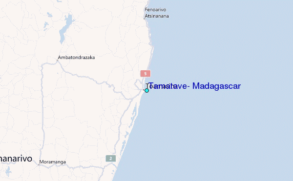