
| Distance / Altitude | Location | Report Date / Time | Live Weather | Wind | Gusts | Temp. | Visibility | Cloud |
|---|---|---|---|---|---|---|---|---|
| 42 km SSE / 15 m | ASCATC120E5N (Marine) | 2024-05-06 09:59 local (2024/05/06 01:59 GMT) | calm (3 km/h at 225) | — | - km | |||
| 76 km NW / 15 m | ASCATC120E6N (Marine) | 2024-05-06 09:58 local (2024/05/06 01:58 GMT) | light winds from the WNW (9 km/h at 300) | — | - km | |||
| 99 km ESE / 15 m | ASCATC121E5N (Marine) | 2024-05-06 09:59 local (2024/05/06 01:59 GMT) | light winds from the SSW (12 km/h at 209) | — | - km | |||
| 129 km WNW / 15 m | ASCATC119E6N (Marine) | 2024-05-06 09:58 local (2024/05/06 01:58 GMT) | calm (4 km/h at 300) | — | - km | |||
| 149 km S / 15 m | ASCATC120E4N (Marine) | 2024-05-06 09:59 local (2024/05/06 01:59 GMT) | light winds from the SW (17 km/h at 230) | — | - km |
| Contours: | Roads & Rivers: | Select a
tide station / surf break / city |
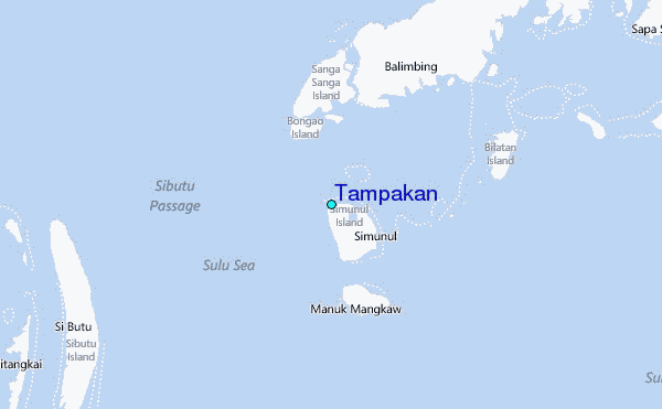
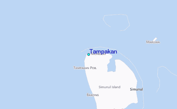
Use this relief map to navigate to tide stations, surf breaks and cities that are in the area of Tampakan.
Other Nearby Locations' tide tables and tide charts to Tampakan:
click location name for more details
 Surf breaks close to Tampakan:
|
||
|---|---|---|
| Closest surf break | Kota Belud | 254 mi |
| Second closest surf break | Kudat (Pantai Kosuhui) | 255 mi |
| Third closest surf break | Shabandar | 264 mi |
| Fourth closest surf break | Nexus | 267 mi |
| Fifth closest surf break | Nexus West End | 267 mi |

 Nearest
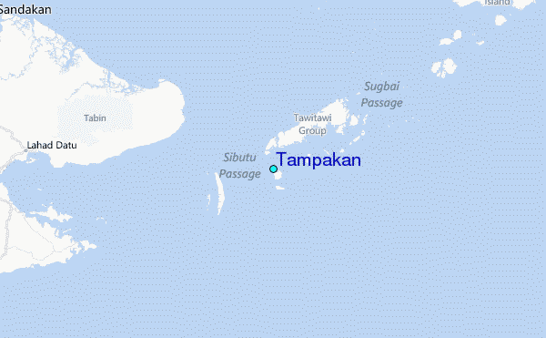